Channel & Berth Profile
Pilotage, Tugs & Services
Pilotage compulsoryNO
Pilotage availableYES
Tug assistanceYES
Potable waterYES
Facilities & Capabilities
Container—
Ro-Ro—
Liquid bulk—
Dry bulk—
Oil terminal—
Break bulk—
Dry dock—
RepairsNO
BunkeringYES
Rail link—
Dangerous cargo—
ISPS security—
Harbour Specifications
Harbour size
Very Small
Harbour type
Coastal (Breakwater)
Shelter
Poor
Water body
Sea of Japan; North Pacific Ocean
Tidal range
2 m
Pilotage
No
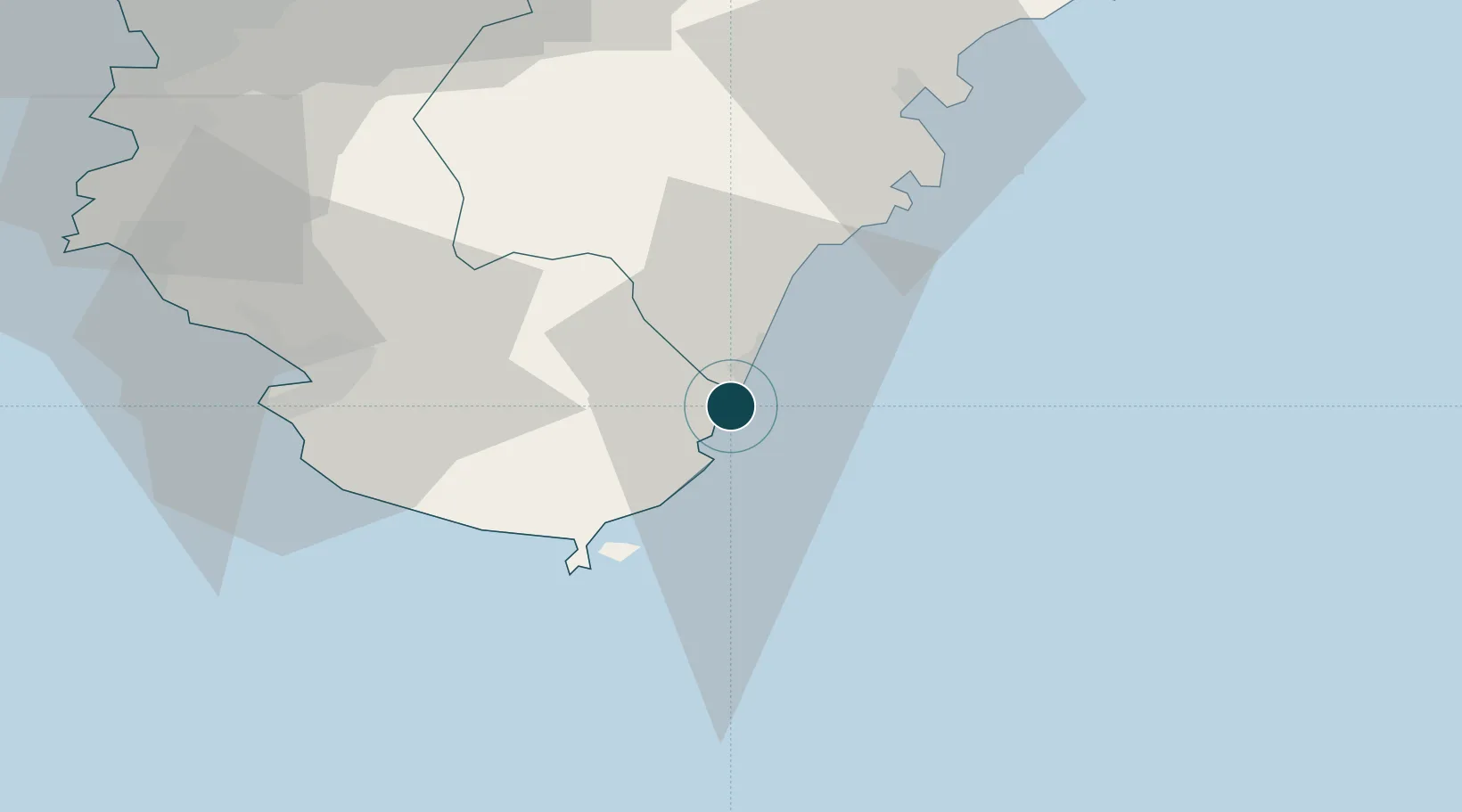
Location
Nearby Logistics Neighbours
Ports
- 1Owase Ko49 km
- 2Tanabe Ko57 km
- 3Yura88 km
- 4Wakayama-Shimotsu Ko98 km
- 5Hannan Ko106 km
Cities
- 1Gobo Wakayama81 km
- 2Yoshino, Nara83 km
- 3Kinokawa89 km
- 4Iwade89 km
- 5Gose90 km
Airports
- 1Nanki Shirahama Airport57 km
- 2Kansai International Airport109 km
- 3Yao Airport109 km
- 4Kobe Airport128 km
- 5Osaka Itami International Airport134 km
Trade Zones
- 1Wakayama Prefecture "Takano Kumano" Cultural and Regional Promotion Comprehensive Special Zone71 km
- 2Rinku Town Izumisano City Area Regional Revitalization Comprehensive Special Zone103 km
- 3Nara Park Tourist Area Revitalization Comprehensive Special Zone114 km
- 4Mie Life Innovation Comprehensive Special Zone121 km
- 5Kansai Innovation International Strategic Comprehensive Special Zone122 km
DatabookThe Record of Consolidated Knowledge
Japan beyond logistics?