Transport Functions
Multimodal
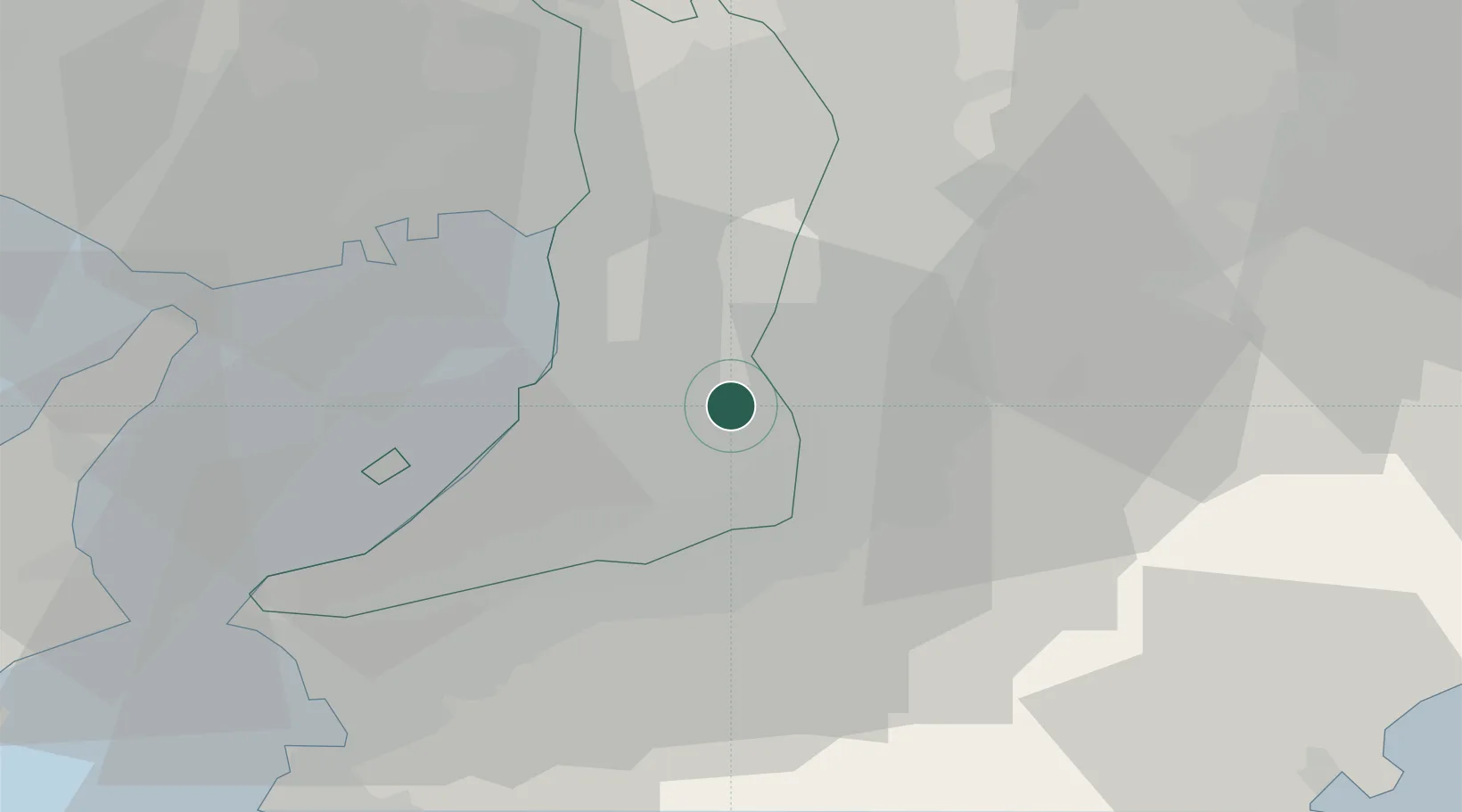
Hub Profile
Region
27
Location
Nearby Logistics Neighbours
Cities
- 1Osakasayama, Osaka5 km
- 2Habikino6 km
- 3Kawachi Nagano7 km
- 4Fujiidera7 km
- 5Katsuragi, Nara12 km
Ports
- 1Sakai-Senboku16 km
- 2Osaka23 km
- 3Hannan Ko23 km
- 4Amagasaki30 km
- 5Kobe42 km
Airports
- 1Yao Airport11 km
- 2Kansai International Airport34 km
- 3Osaka Itami International Airport35 km
- 4Kobe Airport38 km
- 5Nanki Shirahama Airport96 km
Trade Zones
- 1Kansai Innovation International Strategic Comprehensive Special Zone23 km
- 2Rinku Town Izumisano City Area Regional Revitalization Comprehensive Special Zone30 km
- 3Nara Park Tourist Area Revitalization Comprehensive Special Zone30 km
- 4Wakayama Prefecture "Takano Kumano" Cultural and Regional Promotion Comprehensive Special Zone32 km
- 5Mie Life Innovation Comprehensive Special Zone57 km
DatabookThe Record of Consolidated Knowledge
Japan beyond logistics?