Channel & Berth Profile
Pilotage, Tugs & Services
Pilotage compulsoryYES
Pilotage availableYES
Tug assistanceYES
Potable waterYES
MedicalYES
Facilities & Capabilities
Container—
Ro-Ro—
Liquid bulk—
Dry bulk—
Oil terminal—
Break bulk—
Dry dock—
Repairs—
Bunkering—
Rail linkYES
Dangerous cargo—
ISPS security—
Harbour Specifications
Harbour size
Small
Harbour type
Coastal (Natural)
Shelter
Fair
Water body
Sea of Japan; North Pacific Ocean
Tidal range
3 m
Pilotage
Yes
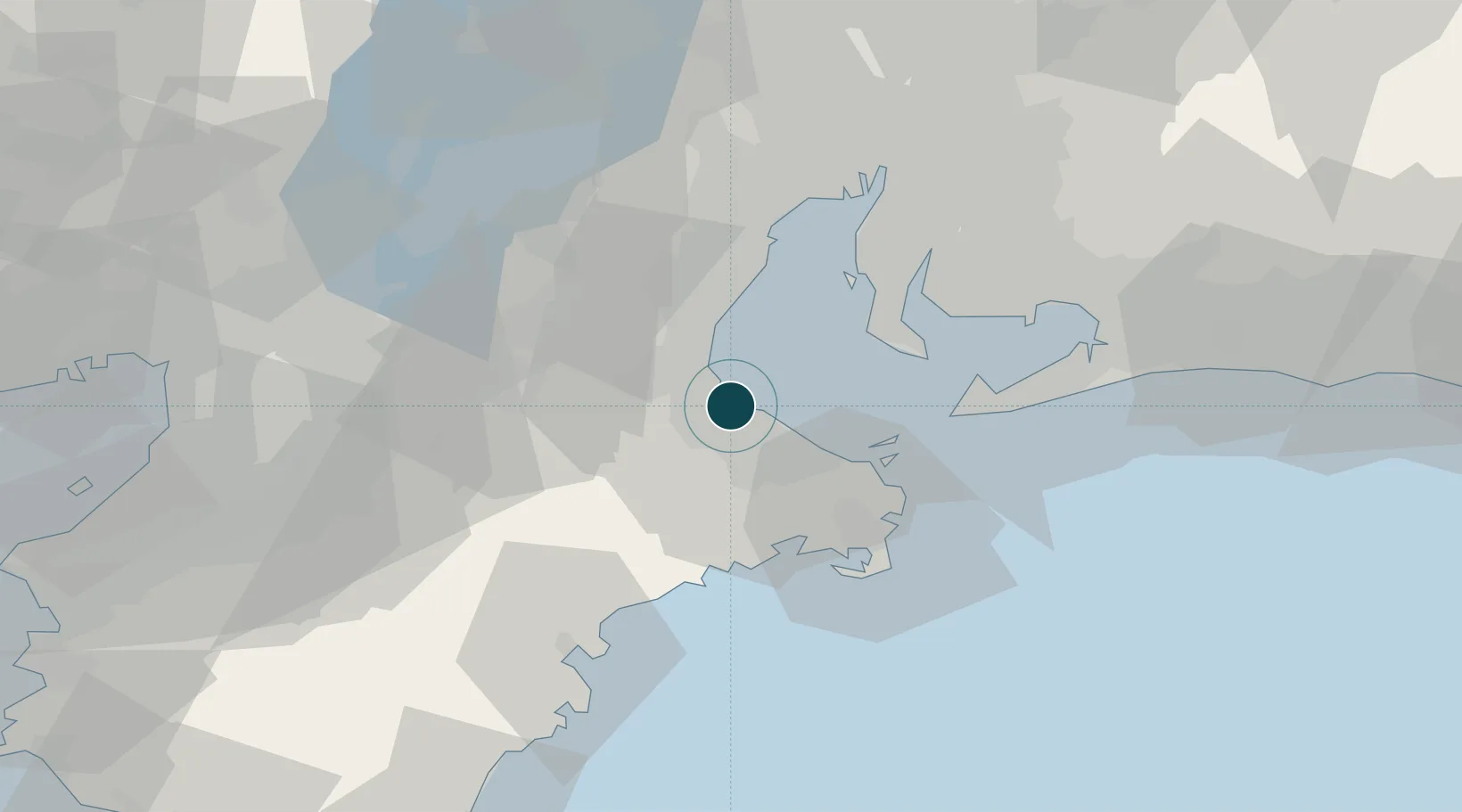
Location
Nearby Logistics Neighbours
Ports
- 1Toba29 km
- 2Yokkaichi41 km
- 3Kinuura Ko45 km
- 4Atsumi46 km
- 5Nagoya Ko59 km
Cities
- 1Mihama37 km
- 2Nabari43 km
- 3Iga44 km
- 4Yokkaichi45 km
- 5Agui Aichi48 km
Airports
Trade Zones
DatabookThe Record of Consolidated Knowledge
Japan beyond logistics?