Channel & Berth Profile
Pilotage, Tugs & Services
Pilotage compulsoryYES
Pilotage availableYES
Potable waterYES
MedicalYES
Garbage disposalYES
Facilities & Capabilities
Container—
Ro-Ro—
Liquid bulk—
Dry bulk—
Oil terminal—
Break bulk—
Dry dockNO
RepairsNO
Bunkering—
Rail linkYES
Dangerous cargo—
ISPS security—
Harbour Specifications
Harbour size
Small
Harbour type
Coastal (Natural)
Shelter
Fair
Water body
Sea of Japan; North Pacific Ocean
Tidal range
4 m
Pilotage
Yes
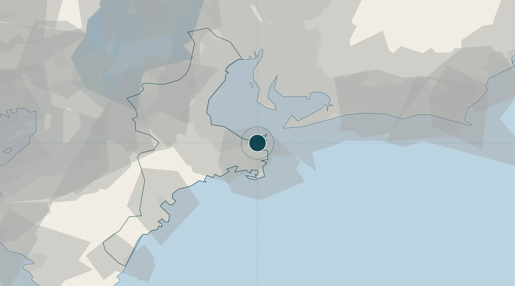
Location
Nearby Logistics Neighbours
Ports
- 1Atsumi28 km
- 2Matsusaka29 km
- 3Kinuura Ko42 km
- 4Mikawa49 km
- 5Gamagori Ko50 km
Cities
- 1Mihama34 km
- 2Toyohashi50 km
- 3Agui Aichi50 km
- 4Higashiura57 km
- 5Kariya, Aichi57 km
Airports
- 1Chubu Centrair International Airport42 km
- 2JASDF Hamamatsu Air Base84 km
- 3Nagoya Airport / JASDF Komaki Air Base86 km
- 4Gifu Airport101 km
- 5Yao Airport115 km
DatabookThe Record of Consolidated Knowledge
Japan beyond logistics?