Transport Functions
Multimodal
Hub Profile
Place type
Provincial seat
Region
Mie
Population
77,022
Time zone
Asia/Tokyo
Elevation
192 m
Location
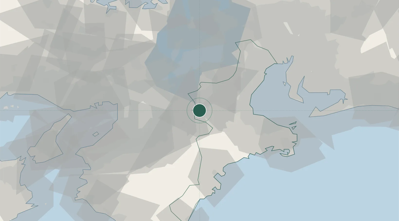
Nearby Logistics Neighbours
Cities
- 1Iga15 km
- 2Minamiyamashiro17 km
- 3Kizugawa28 km
- 4Yamatokoriyama29 km
- 5Ujitawara33 km
Ports
- 1Matsusaka43 km
- 2Osaka61 km
- 3Yokkaichi61 km
- 4Sakai-Senboku62 km
- 5Owase Ko64 km
Airports
- 1Yao Airport46 km
- 2Osaka Itami International Airport62 km
- 3Chubu Centrair International Airport69 km
- 4Kobe Airport80 km
- 5Kansai International Airport82 km
Trade Zones
- 1Mie Life Innovation Comprehensive Special Zone14 km
- 2Nara Park Tourist Area Revitalization Comprehensive Special Zone24 km
- 3Lake Biwa Southern Area New Industry Creation Special Zone41 km
- 4Kyoto City Regional Revitalization Comprehensive Special Zone55 km
- 5Kansai Innovation International Strategic Comprehensive Special Zone57 km
DatabookThe Record of Consolidated Knowledge
Japan beyond logistics?