Diversified Zone · Japan
Rinku Town Izumisano City Area Regional Revitalization Comprehensive Special Zone Active
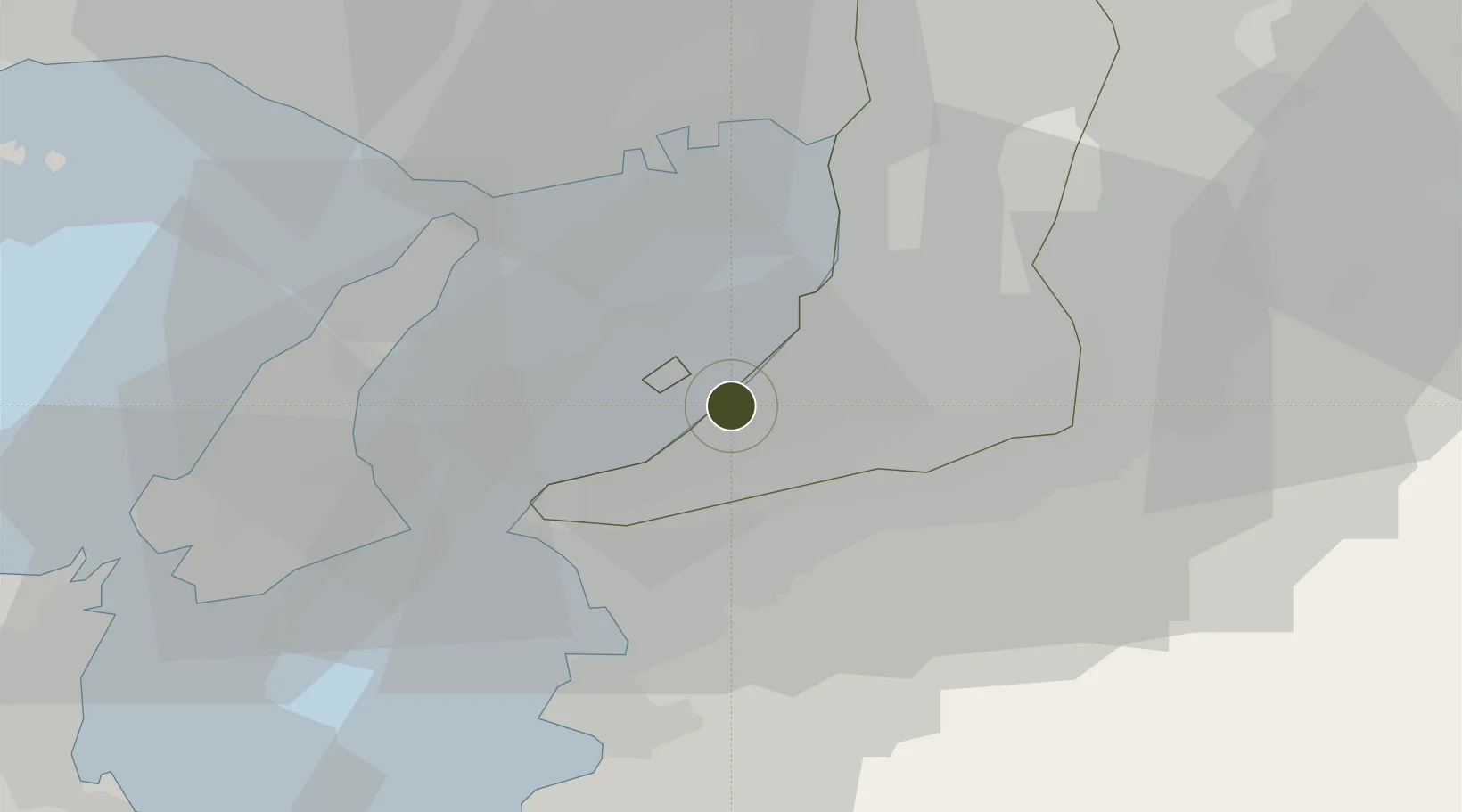
34.4019°, 135.3003°
320 ha
Zone area
8.5 km
Nearest port
5.9 km
Nearest airport
Gateway access
Zone profile
Zone type
Diversified Zone
Region
Ōsaka
Status
Active
Management
Public
Operator
Osaka Prefecture Housing Promotion Bureau
Legal framework
Osaka Prefecture Regional Activation Policy
Location
Nearby Logistics Neighbours
Ports
- 1Hannan Ko9 km
- 2Sakai-Senboku21 km
- 3Wakayama-Shimotsu Ko27 km
- 4Kobe30 km
- 5Osaka30 km
Airports
Cities
- 1Sensyu6 km
- 2Sennan7 km
- 3Kinokawa16 km
- 4Sakaisenboku17 km
- 5Iwade17 km
Trade Zones
- 1Wakayama Prefecture "Takano Kumano" Cultural and Regional Promotion Comprehensive Special Zone33 km
- 2Kansai Innovation International Strategic Comprehensive Special Zone36 km
- 3Awaji Environmental Future Island Special Zone37 km
- 4Nara Park Tourist Area Revitalization Comprehensive Special Zone59 km
- 5Lake Biwa Southern Area New Industry Creation Special Zone84 km
DatabookThe Record of Consolidated Knowledge
Japan beyond logistics?