Medium airport · Japan
Yakushima AirportRJFC
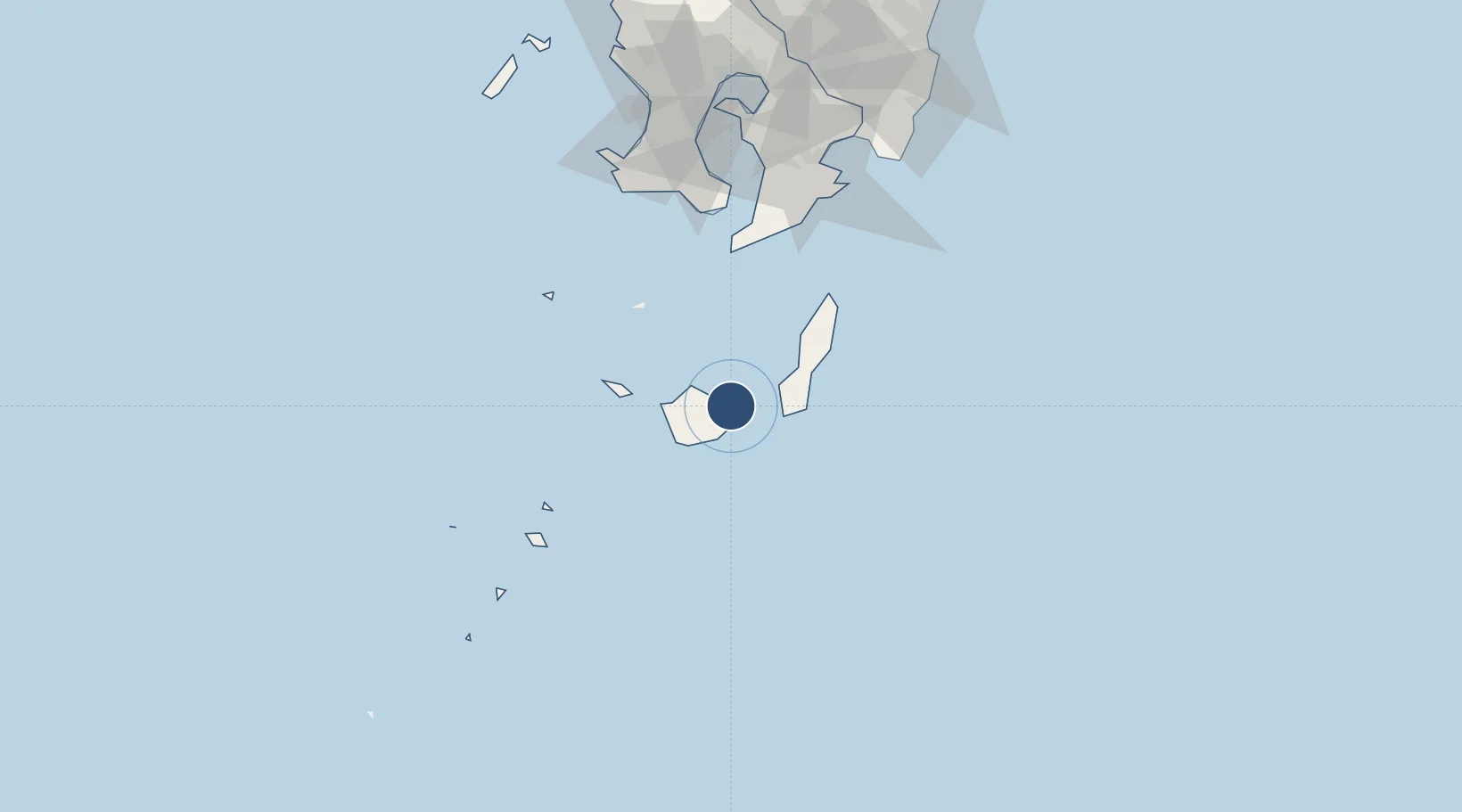
30.3856°, 130.6590°
4,921 ft
Longest runway
1
Runways
124 ft
Elevation
Runway & Layout

Radio Frequencies
A/G
118.65 MHz
REMOTE
Navaids
KYE VOR-DME Kamiyaku 115.40 MHz
YKE VOR-DME Yakushima 117.00 MHz
Runways · 1
| Runway | Dimensions | Surface | True heading | Lit |
|---|---|---|---|---|
| 14/32 | 4,921 × 148ft | Asphalt | 134° | ✓ |
Airport Specifications
IATA code
KUM
ICAO code
RJFC
Airport class
Medium airport
Scheduled service
Yes
Runway surface
Asphalt
Served city
Yakushima
Location
Nearby Logistics Neighbours
Airports
- 1New Tanegashima Airport40 km
- 2JMSDF Kanoya Air Base110 km
- 3Kagoshima Airport158 km
- 4Miyazaki Airport182 km
- 5Amami Airport236 km
Cities
- 1Taniyama105 km
- 2Shibushi126 km
- 3Kagoshima127 km
- 4Fukushima, Miyazaki132 km
- 5Hioki136 km
Ports
- 1Kiire111 km
- 2Shibushi Wan127 km
- 3Kagoshima Ko134 km
- 4Minamata Ko203 km
- 5Yatsushiro Ko235 km
DatabookThe Record of Consolidated Knowledge
Japan beyond logistics?