Transport Functions
Port
Hub Profile
Place type
Locality
Region
Kumamoto
Time zone
Asia/Tokyo
Elevation
389 m
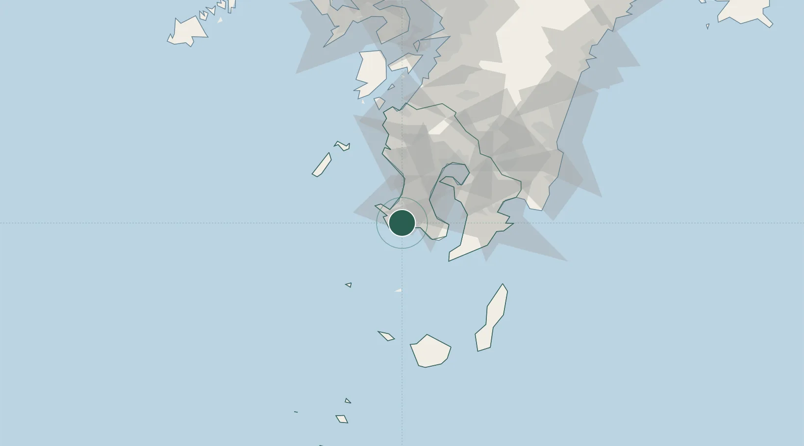
Location
Nearby Logistics Neighbours
Cities
- 1Hioki34 km
- 2Kagoshima35 km
- 3Ichikikushikino48 km
- 4Aira58 km
- 5Satsumasendai59 km
Ports
- 1Kiire25 km
- 2Kagoshima Ko41 km
- 3Shibushi Wan77 km
- 4Minamata Ko102 km
- 5Yatsushiro Ko137 km
Airports
- 1JMSDF Kanoya Air Base51 km
- 2Kagoshima Airport69 km
- 3New Tanegashima Airport99 km
- 4Yakushima Airport105 km
- 5Miyazaki Airport126 km
DatabookThe Record of Consolidated Knowledge
Japan beyond logistics?