Transport Functions
Multimodal
Hub Profile
Place type
Populated place
Region
Osaka
Time zone
Asia/Tokyo
Elevation
4 m
Logistics facilities
1
Location
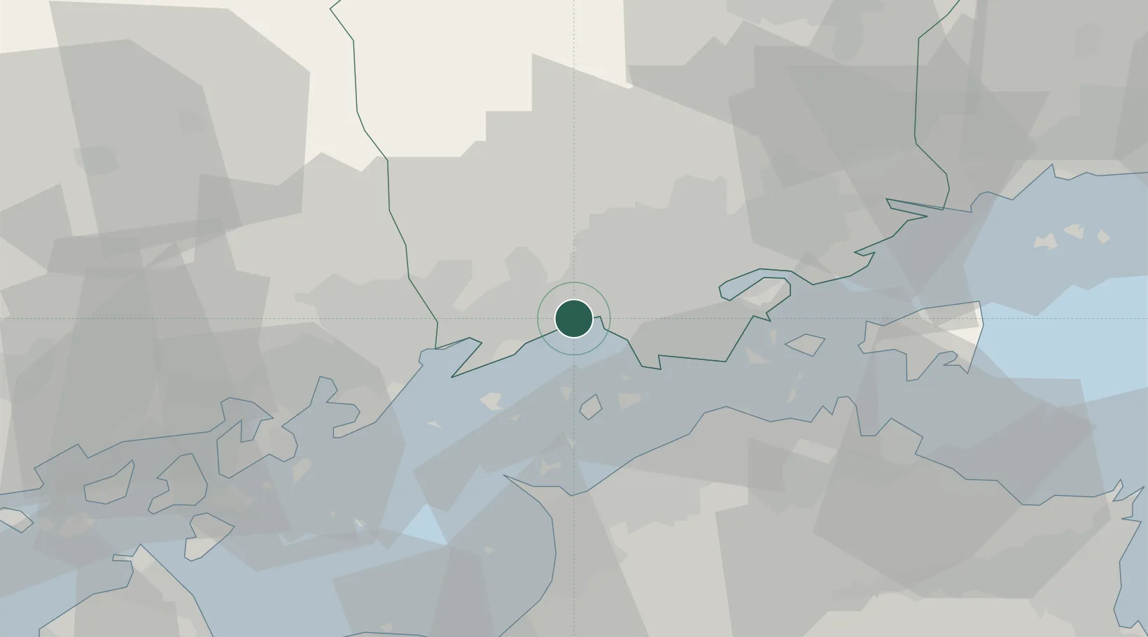
Nearby Logistics Neighbours
Cities
- 1Mizushima2 km
- 2Asakuchi9 km
- 3Soja, Okayama17 km
- 4Fukuyama, Hiroshima25 km
- 5Ayagawa25 km
Ports
- 1Mizushima Ko7 km
- 2Fukuyama25 km
- 3Hibi Ko25 km
- 4Uno Ko25 km
- 5Sakaide Ko26 km
Airports
Trade Zones
- 1Hyper & Green Innovation Mizushima Complex General Special Zone4 km
- 2Okayama-type Sustainable Socio-Economic Model Construction Comprehensive Special Zone27 km
- 3Kagawa Medical Welfare General Special Zone27 km
- 4Hiroshima Environmental Tourism Model Urban Development Promotion Special Zone35 km
- 5Takamatsu Compact Eco-City Special Zone42 km
DatabookThe Record of Consolidated Knowledge
Japan beyond logistics?