Free Trade Zone · Jamaica

Kingston Wharves Terminal Special Economic Zone Active
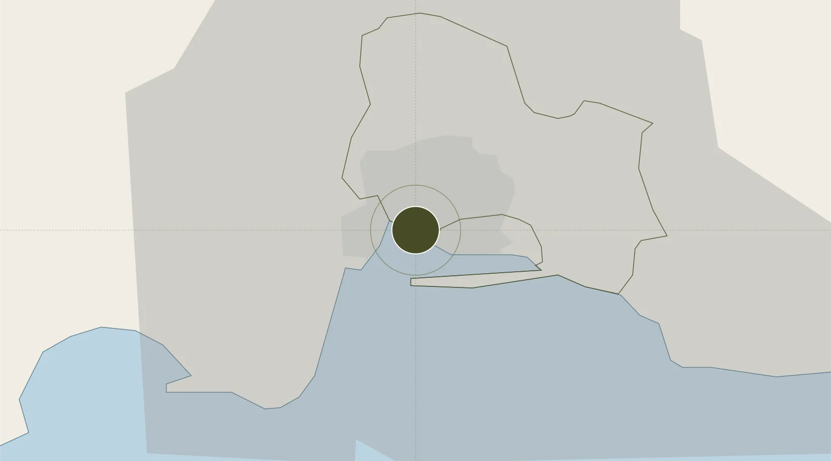
17.9838°, -76.8279°
2 ha
Zone area
5.1 km
Nearest port
0.7 km
Nearest airport

Gateway access

Nearest neighbours — logibook spatial index (haversine) over the source coordinates

Zone profile

Zone type
Free Trade Zone
Open Zone Map
Region
Saint Andrew
Open Zone Map
Status
Active
Open Zone Map
Management
Private
Open Zone Map
Operator
Kingston Wharves Limited
Open Zone Map
Legal framework
Special Economic Zones Act (2016)
Open Zone Map

Location

Location of ozm-2549
Natural Earth 10m (public domain) · Saint Andrew · ozm-2549 · 17.98, -76.83GoogleOSMYandex

Nearby Logistics Neighbours

Ports
  1. 1Kingston5 km
  2. 2Port Esquivel34 km
  3. 3Rocky Point39 km
  4. 4Port Antonio46 km
  5. 5Ocho Rios57 km
Nearest neighbours — logibook spatial index (haversine) over the source coordinates
Airports
  1. 1Tinson Pen Airport1 km
  2. 2Norman Manley International Airport7 km
  3. 3Ken Jones Airport39 km
  4. 4Ian Fleming International Airport49 km
  5. 5Sangster International Airport128 km
Nearest neighbours — logibook spatial index (haversine) over the source coordinates
Cities
  1. 1Kingston0 km
  2. 2Vineyard7 km
  3. 3Port Henderson7 km
  4. 4Charles Town31 km
  5. 5Oracabessa48 km
Nearest neighbours — logibook spatial index (haversine) over the source coordinates
Trade Zones
  1. 1Kingston Free Zone1 km
  2. 2Garmex Free Zone2 km
  3. 358 HWT Tech Park4 km
  4. 4Caymanas Special Economic Zone6 km
  5. 5Portmore Informatics Park Free Zone7 km
Nearest neighbours — logibook spatial index (haversine) over the source coordinates
DatabookThe Record of Consolidated Knowledge
Jamaica beyond logistics?
Browse databook

All Sources

Trade ZonesOpen Zone Map
CC BY
Portsthe NGA World Port Index
Public domain (US gov)
AirportsOurAirports
Public domain
LocationsUN/LOCODE
UN/LOCODE — free
← Jamaica trade zones