Special Economic Zone · Jamaica

Kingston Free Zone Active
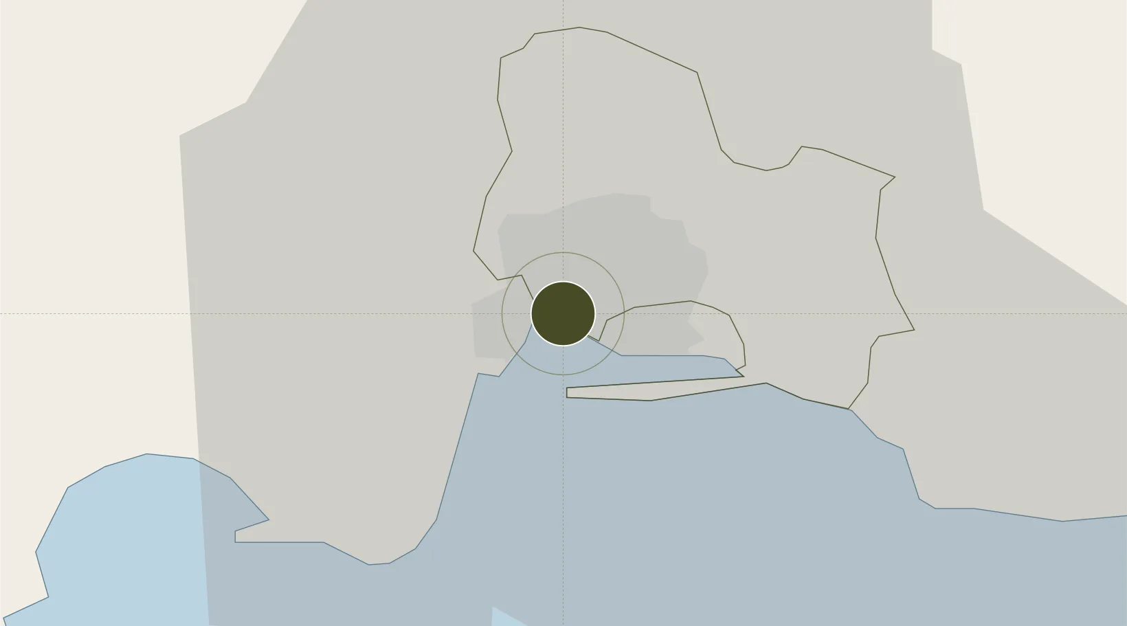
17.9891°, -76.8342°
18 ha
Zone area
5.9 km
Nearest port
1.1 km
Nearest airport

Gateway access

Nearest neighbours — logibook spatial index (haversine) over the source coordinates

Zone profile

Zone type
Special Economic Zone
the World Bank SEZ database
Region
Saint Andrew
the World Bank SEZ database
Status
Active
the World Bank SEZ database
Established
1976
the World Bank SEZ database
Management
Public agency
the World Bank SEZ database
Operator
Port Authority of Jamaica
the World Bank SEZ database
Regulatory authority
Special Economic Zones Authority (SEZA)
the World Bank SEZ database
Legal framework
Special Economic Zones Act
the World Bank SEZ database

Location

Location of JAM1
Natural Earth 10m (public domain) · Saint Andrew · JAM1 · 17.99, -76.83GoogleOSMYandex

Fiscal & incentives

Corporate tax
25%
the World Bank SEZ database
Tax relief
Reduced fixed-rate at 12.5%
the World Bank SEZ database
Relief duration
Perpetual
the World Bank SEZ database
VAT
100% exempt from general consumptive tax on electricity or telecommunications
the World Bank SEZ database
Import duty (inputs)
100% exempt
the World Bank SEZ database
Import duty (capex)
100% exempt
the World Bank SEZ database
Profit repatriation
No exemption
the World Bank SEZ database
Capital gains
No exemption
the World Bank SEZ database
Withholding tax
No exemption
the World Bank SEZ database
Min. investment
None
the World Bank SEZ database
Min. export
0%
the World Bank SEZ database
Employment incentive
No exemption
the World Bank SEZ database
Developer incentive
Yes
the World Bank SEZ database

Nearby Logistics Neighbours

Ports
  1. 1Kingston6 km
  2. 2Port Esquivel34 km
  3. 3Rocky Point39 km
  4. 4Port Antonio46 km
  5. 5Ocho Rios56 km
Nearest neighbours — logibook spatial index (haversine) over the source coordinates
Airports
  1. 1Tinson Pen Airport1 km
  2. 2Norman Manley International Airport8 km
  3. 3Ken Jones Airport39 km
  4. 4Ian Fleming International Airport48 km
  5. 5Sangster International Airport128 km
Nearest neighbours — logibook spatial index (haversine) over the source coordinates
Cities
  1. 1Kingston1 km
  2. 2Port Henderson7 km
  3. 3Vineyard8 km
  4. 4Charles Town31 km
  5. 5Oracabessa47 km
Nearest neighbours — logibook spatial index (haversine) over the source coordinates
Trade Zones
  1. 1Kingston Wharves Terminal Special Economic Zone1 km
  2. 2Garmex Free Zone3 km
  3. 358 HWT Tech Park5 km
  4. 4Caymanas Special Economic Zone5 km
  5. 5Portmore Informatics Park Free Zone7 km
Nearest neighbours — logibook spatial index (haversine) over the source coordinates
DatabookThe Record of Consolidated Knowledge
Jamaica beyond logistics?
Browse databook

All Sources

Trade Zonesthe World Bank SEZ database
CC BY 4.0
Portsthe NGA World Port Index
Public domain (US gov)
AirportsOurAirports
Public domain
LocationsUN/LOCODE
UN/LOCODE — free
← Jamaica trade zones