Channel & Berth Profile
Pilotage, Tugs & Services
Pilotage compulsoryYES
Pilotage availableYES
Tug assistanceNO
Salvage tugsNO
Potable waterYES
Diesel bunkersYES
MedicalYES
Garbage disposalNO
Facilities & Capabilities
Container—
Ro-Ro—
Liquid bulk—
Dry bulk—
Oil terminal—
Break bulkYES
Dry dock—
RepairsNO
BunkeringYES
Rail link—
Dangerous cargo—
ISPS securityYES
Harbour Specifications
Harbour size
Small
Harbour type
Coastal (Natural)
Shelter
Good
Water body
Caribbean Sea; North Atlantic Ocean
Tidal range
0.6 m
Overhead limit
No
Pilotage
Yes
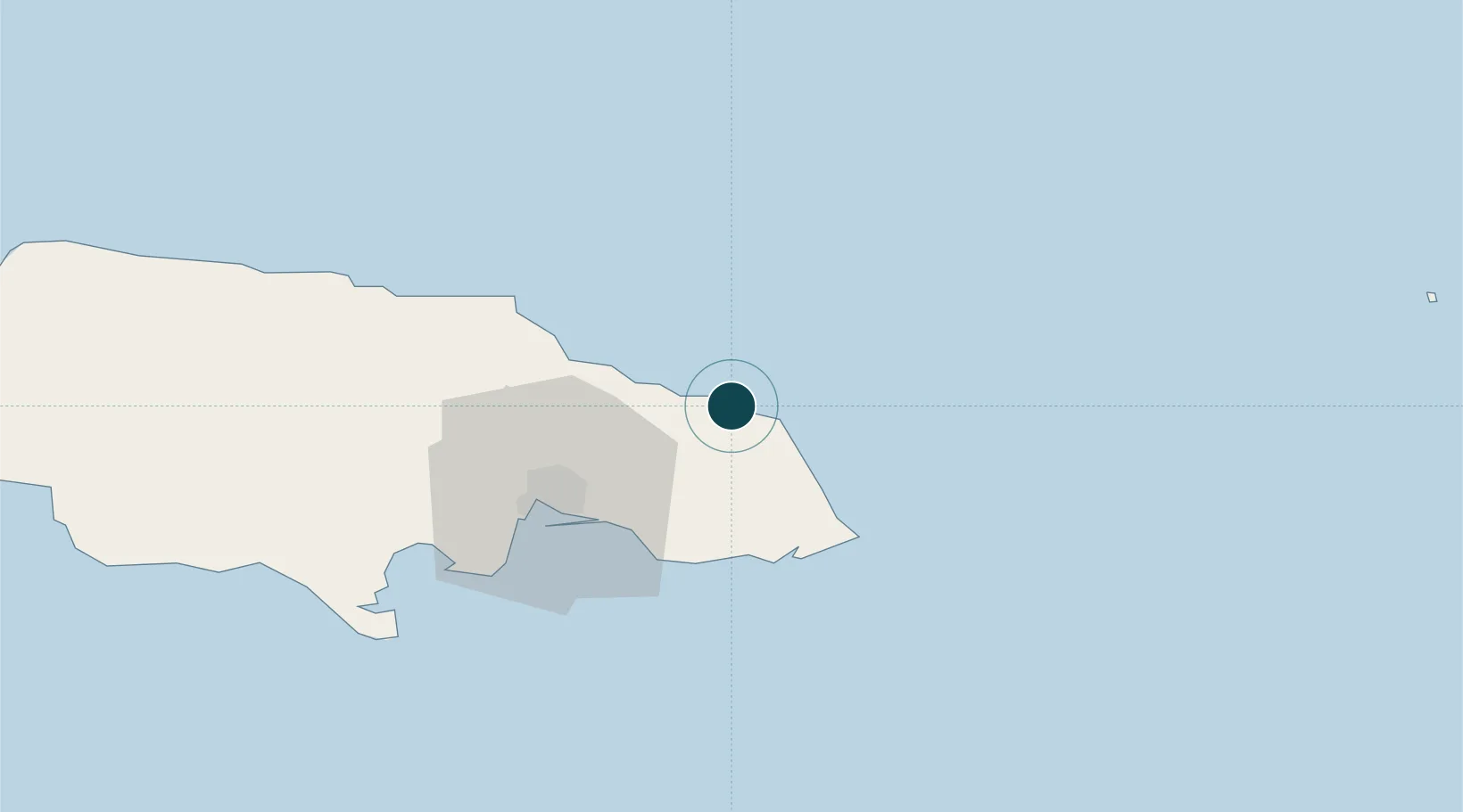
Location
Nearby Logistics Neighbours
Ports
- 1Kingston43 km
- 2Ocho Rios75 km
- 3Port Esquivel80 km
- 4Rocky Point85 km
- 5Rio Bueno112 km
Cities
- 1Charles Town23 km
- 2Vineyard41 km
- 3Kingston46 km
- 4Port Henderson53 km
- 5Oracabessa58 km
Airports
Trade Zones
DatabookThe Record of Consolidated Knowledge
Jamaica beyond logistics?