Transport Functions
Road
Multimodal
Hub Profile
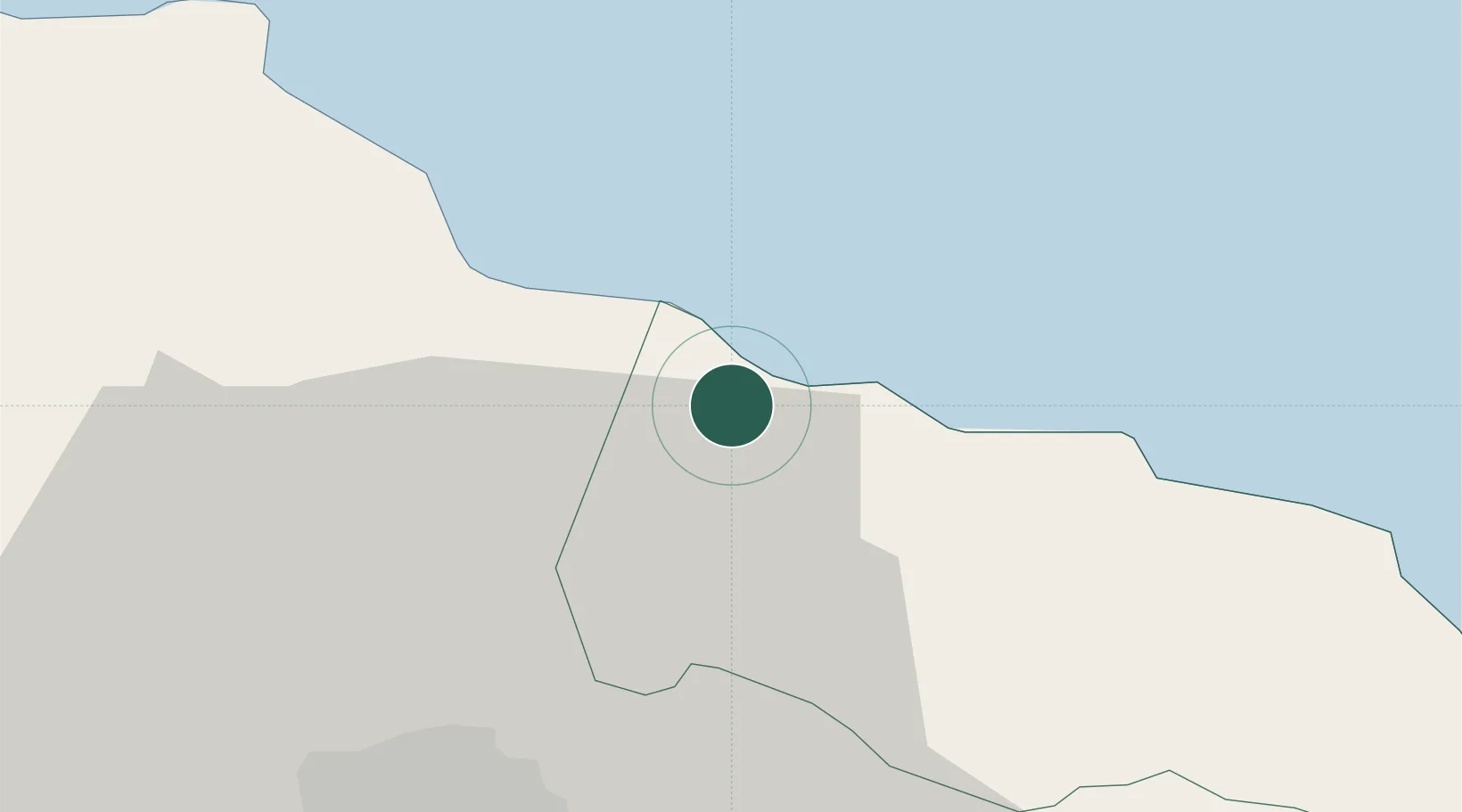
Place type
Populated place
Region
Portland Parish
Time zone
America/Jamaica
Elevation
49 m
Location
Nearby Logistics Neighbours
Cities
- 1Vineyard30 km
- 2Kingston31 km
- 3Oracabessa36 km
- 4Port Henderson38 km
- 5Saint Ann's Bay61 km
Ports
- 1Port Antonio23 km
- 2Kingston30 km
- 3Ocho Rios53 km
- 4Port Esquivel62 km
- 5Rocky Point68 km
Airports
Trade Zones
DatabookThe Record of Consolidated Knowledge
Jamaica beyond logistics?