Seaport · Iceland

HelguvikISHEL

64.0167°, -22.5500°
Helguvik is also a UN/LOCODE logistics hub →

Channel & Berth Profile

SEA LEVEL (CD)CHANNEL BEDOil terminal · 14.0 m
NGA World Port Index

Facilities & Capabilities

ContainerYES
Ro-Ro
Liquid bulkNO
Dry bulkYES
Oil terminal
Break bulkYES
Dry dock
Repairs
Bunkering
Rail link
Dangerous cargo
ISPS securityYES
NGA World Port Index

Harbour Specifications

Water body
North Atlantic Ocean
NGA World Port Index

Location

Location of ISHEL
Natural Earth 10m (public domain) · Suðurnes · ISHEL · 64.02, -22.55GoogleOSMYandex

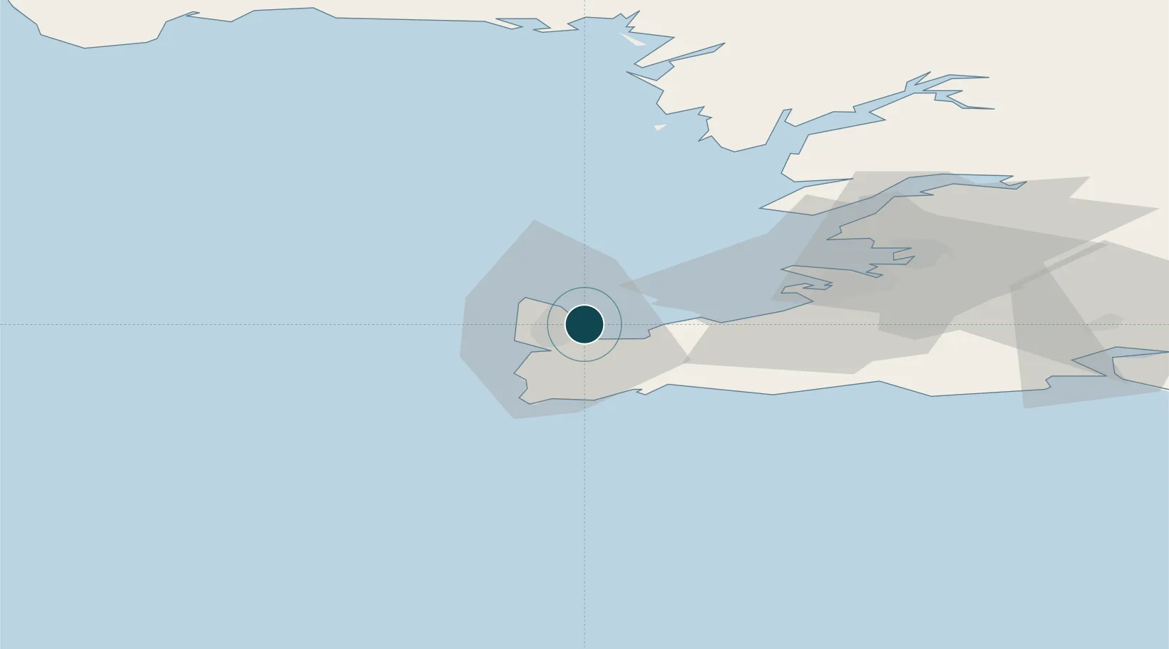
Nearby Logistics Neighbours

Ports
  1. 1Keflavik2 km
  2. 2Sandgerdi8 km
  3. 3Grindavik21 km
  4. 4Straumsvik25 km
  5. 5Hafnarfjordur30 km
Nearest neighbours — logibook spatial index (haversine) over the source coordinates
Cities
  1. 1Vogar9 km
  2. 2Hafnir13 km
  3. 3Grindavík21 km
  4. 4Kópavogur32 km
  5. 5Reykjavík37 km
Nearest neighbours — logibook spatial index (haversine) over the source coordinates
Airports
  1. 1Keflavik International Airport4 km
  2. 2Reykjavík Domestic Airport32 km
  3. 3Vestmannaeyjar Airport130 km
  4. 4Bildudalur Airport187 km
  5. 5Ísafjörður Airport229 km
Nearest neighbours — logibook spatial index (haversine) over the source coordinates
Trade Zones
  1. 1Prestwick Airport Free Zone1371 km
  2. 2Shannon Free Zone1482 km
  3. 3Carlisle Kingmoor Park Enterprise Zone1487 km
  4. 4Isle of Man Free Zone and Business Park1496 km
  5. 5Dublin International Financial Services Centre1506 km
Nearest neighbours — logibook spatial index (haversine) over the source coordinates
DatabookThe Record of Consolidated Knowledge
Iceland beyond logistics?
Browse databook

All Sources

Portsthe NGA World Port Index
Public domain (US gov)
AirportsOurAirports
Public domain
LocationsUN/LOCODE
UN/LOCODE — free
Trade Zonesthe World Bank SEZ database
CC BY 4.0
Trade ZonesOpen Zone Map
CC BY
← Iceland ports