Large airport · India

Kannur International AirportVOKN
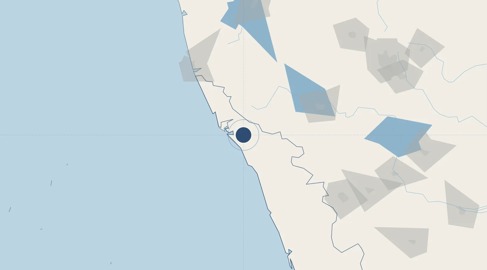
11.9163°, 75.5450°
10,007 ft
Longest runway
1
Runways
330 ft
Elevation

Runway & Layout

Kannur International Airport runway & taxiway layout
Runway & taxiway layout — OpenStreetMap (ODbL) / OurAirports

Runways · 1

RunwayDimensions SurfaceTrue headingLit
07/25 10,007 × 148ft asphalt
OurAirports

Airport Specifications

IATA code
CNN
OurAirports
ICAO code
VOKN
OurAirports
Airport class
Large airport
OurAirports
Scheduled service
Yes
OurAirports
Runway surface
asphalt
OurAirports
Served city
Kannur
OurAirports

Location

Location of VOKN
Natural Earth 10m (public domain) · Kerala · VOKN · 11.92, 75.54GoogleOSMYandex

Nearby Logistics Neighbours

Airports
  1. 1Calicut International Airport98 km
  2. 2Mysore Airport126 km
  3. 3Mangaluru International Airport136 km
  4. 4Coimbatore International Airport191 km
  5. 5Rashtrakavi Kuvempu Airport216 km
Nearest neighbours — logibook spatial index (haversine) over the source coordinates
Cities
  1. 1Mahe24 km
  2. 2Taliparamba26 km
  3. 3Payyannur43 km
  4. 4Kollam54 km
  5. 5Siddapur55 km
Nearest neighbours — logibook spatial index (haversine) over the source coordinates
Ports
  1. 1Azhikal (Azhikkal)26 km
  2. 2Calicut (Kozhikode)78 km
  3. 3Beypore88 km
  4. 4New Mangalore137 km
  5. 5Kochi (Cochin)229 km
Nearest neighbours — logibook spatial index (haversine) over the source coordinates
Trade Zones
  1. 1Kerala State Information Technology Infrastructure Limited80 km
  2. 2Kinfra (Food Processing) SEZ Kakkancherry93 km
  3. 3Infosys Ltd SEZ (Mysuru)125 km
  4. 4Kiadb SEZ Hassan - Textiles130 km
  5. 5Mangalore Special Economic Zone134 km
Nearest neighbours — logibook spatial index (haversine) over the source coordinates
DatabookThe Record of Consolidated Knowledge
India beyond logistics?
Browse databook

All Sources

AirportsOurAirports
Public domain
Portsthe NGA World Port Index
Public domain (US gov)
LocationsUN/LOCODE
UN/LOCODE — free
Trade Zonesthe World Bank SEZ database
CC BY 4.0
Trade ZonesOpen Zone Map
CC BY
InfrastructureOpenStreetMap
ODbL 1.0
← India airports