Specialized Zone · India

Infosys Ltd. SEZ (Mangaluru) Active
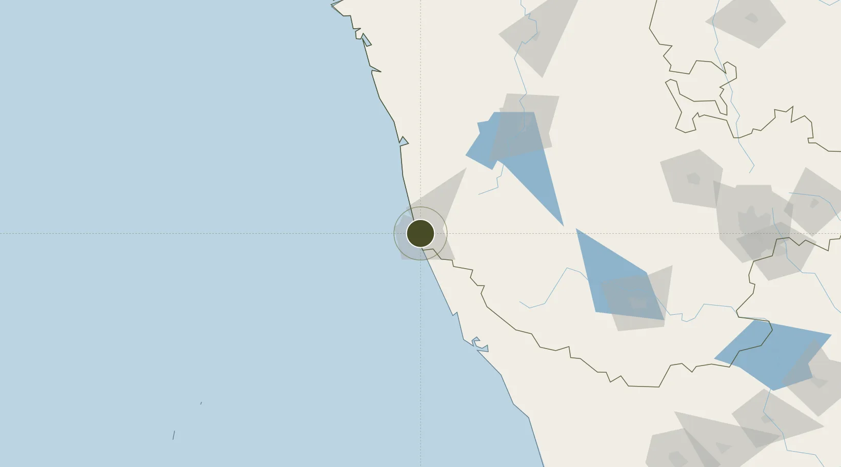
12.9048°, 74.8362°
24 ha
Zone area
2.5 km
Nearest port
7.8 km
Nearest airport

Gateway access

Nearest neighbours — logibook spatial index (haversine) over the source coordinates

Zone profile

Zone type
Specialized Zone
Open Zone Map
Specialization
IT
Open Zone Map
Region
Karnataka
Open Zone Map
Status
Active
Open Zone Map
Management
Private
Open Zone Map
Operator
Infosys.Ltd
Open Zone Map
Legal framework
9/060/SEZ/HYD/2009 dated 25.02.2009
Open Zone Map

Location

Location of ozm-2248
Natural Earth 10m (public domain) · Karnataka · ozm-2248 · 12.90, 74.84GoogleOSMYandex

Nearby Logistics Neighbours

Ports
  1. 1New Mangalore3 km
  2. 2Azhikal (Azhikkal)118 km
  3. 3Belekeri209 km
  4. 4Calicut (Kozhikode)210 km
  5. 5Beypore220 km
Nearest neighbours — logibook spatial index (haversine) over the source coordinates
Airports
  1. 1Mangaluru International Airport8 km
  2. 2Kannur International Airport134 km
  3. 3Rashtrakavi Kuvempu Airport136 km
  4. 4Mysore Airport211 km
  5. 5Calicut International Airport231 km
Nearest neighbours — logibook spatial index (haversine) over the source coordinates
Cities
  1. 1Mangalore5 km
  2. 2Mangalore7 km
  3. 3Mangalore SEZ7 km
  4. 4Synefra-SEZ/Udupi50 km
  5. 5Payyannur98 km
Nearest neighbours — logibook spatial index (haversine) over the source coordinates
Trade Zones
  1. 1Mangalore Special Economic Zone0 km
  2. 2Suzlon Infrastructure Ltd.26 km
  3. 3Aspen, Padubidri Special Economic Zone (Formerly Aspen)27 km
  4. 4Kiadb SEZ Hassan - Textiles137 km
  5. 5Kiadb Food Processing Special Economic Zone137 km
Nearest neighbours — logibook spatial index (haversine) over the source coordinates
DatabookThe Record of Consolidated Knowledge
India beyond logistics?
Browse databook

All Sources

Trade ZonesOpen Zone Map
CC BY
Portsthe NGA World Port Index
Public domain (US gov)
AirportsOurAirports
Public domain
LocationsUN/LOCODE
UN/LOCODE — free
← India trade zones