Seaport · India

Calicut (Kozhikode)INCCJ

11.2500°, 75.7667°
6.5
Port liner connectivity
Calicut (Kozhikode) is also a UN/LOCODE logistics hub →

Channel & Berth Profile

SEA LEVEL (CD)CHANNEL BEDAnchorage · 9.0 m
NGA World Port Index

Pilotage, Tugs & Services

Pilotage compulsoryYES
Pilotage availableYES
Local assistanceNO
Tug assistanceYES
Potable waterYES
Diesel bunkersNO
MedicalYES
Garbage disposalYES
NGA World Port Index

Facilities & Capabilities

Container
Ro-Ro
Liquid bulk
Dry bulk
Oil terminal
Break bulk
Dry dock
RepairsNO
BunkeringYES
Rail linkYES
Dangerous cargo
ISPS security
NGA World Port Index

Harbour Specifications

Harbour size
Very Small
NGA World Port Index
Harbour type
Open Roadstead
NGA World Port Index
Water body
Laccadive Sea; Indian Ocean
NGA World Port Index
Tidal range
1 m
NGA World Port Index
Overhead limit
No
NGA World Port Index
Pilotage
Yes
NGA World Port Index

Liner Connectivity

6.5
PLSCI

Port Liner Shipping Connectivity Index for Calicut (Kozhikode), as published by UNCTAD for the latest available quarter. Higher values indicate stronger scheduled liner-shipping integration.

Shown relative to the highest per-port PLSCI in the dataset (1,657.9).
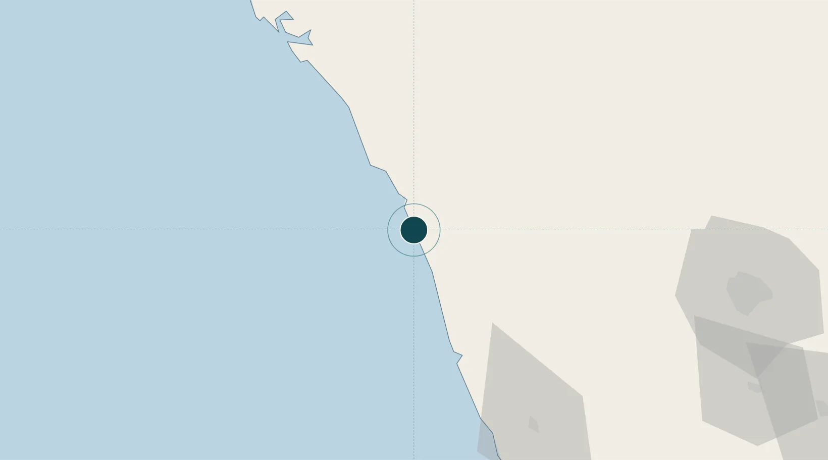
UNCTAD · Port Liner Shipping Connectivity Index

Location

Location of INCCJ
Natural Earth 10m (public domain) · Kerala · INCCJ · 11.25, 75.77GoogleOSMYandex

Nearby Logistics Neighbours

Ports
  1. 1Beypore10 km
  2. 2Azhikal (Azhikkal)92 km
  3. 3Kochi (Cochin)152 km
  4. 4New Mangalore212 km
  5. 5Quilon (Kollam)279 km
Nearest neighbours — logibook spatial index (haversine) over the source coordinates
Cities
  1. 1Kinfrafp-SEZ/Kozhikkode0 km
  2. 2Kollam24 km
  3. 3Mahe56 km
  4. 4Tics ICD/Mathilakam95 km
  5. 5Taliparamba100 km
Nearest neighbours — logibook spatial index (haversine) over the source coordinates
Airports
  1. 1Calicut International Airport24 km
  2. 2Kannur International Airport78 km
  3. 3Cochin International Airport141 km
  4. 4Coimbatore International Airport141 km
  5. 5Mysore Airport146 km
Nearest neighbours — logibook spatial index (haversine) over the source coordinates
Trade Zones
  1. 1Kerala State Information Technology Infrastructure Limited8 km
  2. 2Kinfra (Food Processing) SEZ Kakkancherry18 km
  3. 3Span Ventures137 km
  4. 4Rathinam Techzone137 km
  5. 5Carborundum Universal Ltd146 km
Nearest neighbours — logibook spatial index (haversine) over the source coordinates
DatabookThe Record of Consolidated Knowledge
India beyond logistics?
Browse databook

All Sources

Portsthe NGA World Port Index
Public domain (US gov)
Logistics performanceUNCTAD
CC BY 3.0 IGO
AirportsOurAirports
Public domain
LocationsUN/LOCODE
UN/LOCODE — free
Trade Zonesthe World Bank SEZ database
CC BY 4.0
Trade ZonesOpen Zone Map
CC BY
← India ports