Specialized Zone · India

Suzlon Infrastructure Ltd. Active
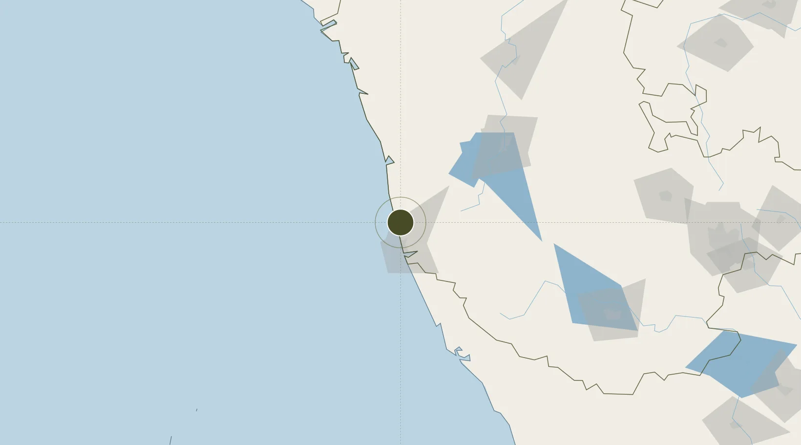
13.1296°, 74.7914°
259 ha
Zone area
23.8 km
Nearest port
22.0 km
Nearest airport

Gateway access

Nearest neighbours — logibook spatial index (haversine) over the source coordinates

Zone profile

Zone type
Specialized Zone
Open Zone Map
Specialization
Manufacturing
Open Zone Map
Region
Karnataka
Open Zone Map
Status
Active
Open Zone Map
Management
Private
Open Zone Map
Operator
Suzlon Infrastructure, Aspen
Open Zone Map
Legal framework
Proceedings of Gov't of Karnataka: Sutbstate Policy for Special Economic Zones – 2009
Open Zone Map

Location

Location of ozm-2293
Natural Earth 10m (public domain) · Karnataka · ozm-2293 · 13.13, 74.79GoogleOSMYandex

Nearby Logistics Neighbours

Ports
  1. 1New Mangalore24 km
  2. 2Azhikal (Azhikkal)143 km
  3. 3Belekeri184 km
  4. 4Karwar201 km
  5. 5Calicut (Kozhikode)234 km
Nearest neighbours — logibook spatial index (haversine) over the source coordinates
Airports
  1. 1Mangaluru International Airport22 km
  2. 2Rashtrakavi Kuvempu Airport121 km
  3. 3Kannur International Airport158 km
  4. 4Mysore Airport225 km
  5. 5Hubballi Airport250 km
Nearest neighbours — logibook spatial index (haversine) over the source coordinates
Cities
  1. 1Mangalore21 km
  2. 2Synefra-SEZ/Udupi25 km
  3. 3Mangalore31 km
  4. 4Mangalore SEZ31 km
  5. 5Kanara99 km
Nearest neighbours — logibook spatial index (haversine) over the source coordinates
Trade Zones
  1. 1Aspen, Padubidri Special Economic Zone (Formerly Aspen)2 km
  2. 2Infosys Ltd. SEZ (Mangaluru)26 km
  3. 3Mangalore Special Economic Zone26 km
  4. 4Keonics Shimoga125 km
  5. 5Kiadb Food Processing Special Economic Zone142 km
Nearest neighbours — logibook spatial index (haversine) over the source coordinates
DatabookThe Record of Consolidated Knowledge
India beyond logistics?
Browse databook

All Sources

Trade ZonesOpen Zone Map
CC BY
Portsthe NGA World Port Index
Public domain (US gov)
AirportsOurAirports
Public domain
LocationsUN/LOCODE
UN/LOCODE — free
← India trade zones