Specialized Zone · India

Kiadb SEZ Hassan - Textiles Active
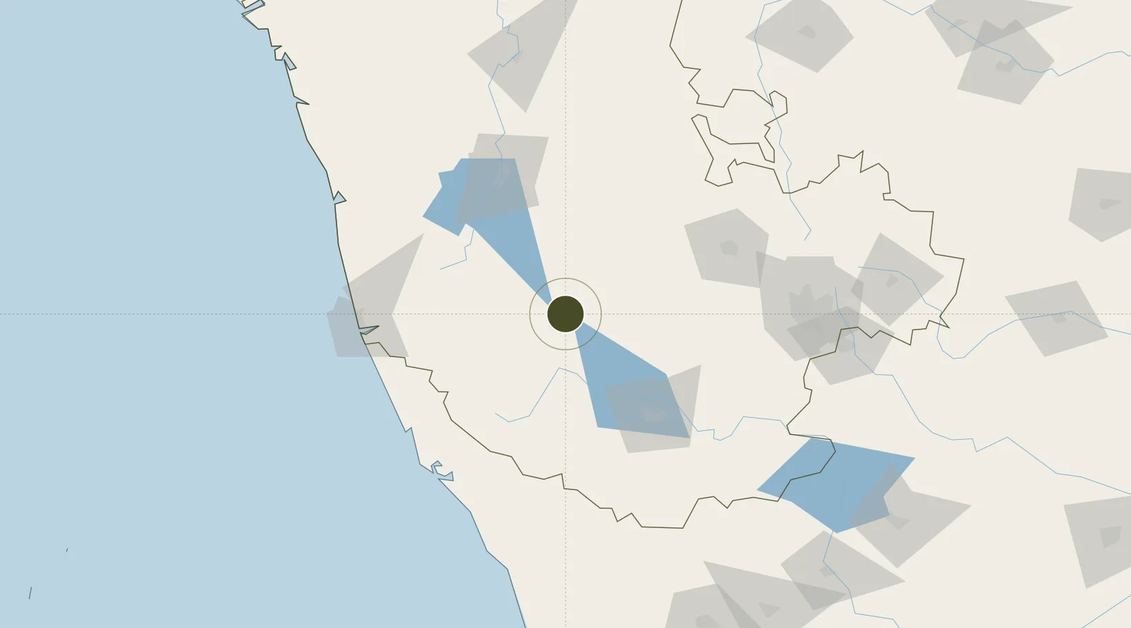
12.9524°, 76.0951°
248 ha
Zone area
138.6 km
Nearest port
100.7 km
Nearest airport

Gateway access

Nearest neighbours — logibook spatial index (haversine) over the source coordinates

Zone profile

Zone type
Specialized Zone
Open Zone Map
Specialization
Textiles
Open Zone Map
Region
Karnataka
Open Zone Map
Status
Active
Open Zone Map
Management
Private
Open Zone Map
Operator
Multiple Owners
Open Zone Map
Legal framework
Proceedings of Gov't of Karnataka: Sutbstate Policy for Special Economic Zones - 2009
Open Zone Map

Location

Location of ozm-2327
Natural Earth 10m (public domain) · Karnataka · ozm-2327 · 12.95, 76.10GoogleOSMYandex

Nearby Logistics Neighbours

Ports
  1. 1New Mangalore139 km
  2. 2Azhikal (Azhikkal)141 km
  3. 3Calicut (Kozhikode)193 km
  4. 4Beypore201 km
  5. 5Belekeri277 km
Nearest neighbours — logibook spatial index (haversine) over the source coordinates
Airports
  1. 1Mysore Airport101 km
  2. 2Rashtrakavi Kuvempu Airport113 km
  3. 3Kannur International Airport130 km
  4. 4Mangaluru International Airport131 km
  5. 5Jakkur Aerodrome163 km
Nearest neighbours — logibook spatial index (haversine) over the source coordinates
Cities
  1. 1Hassan5 km
  2. 2OPTO INFRA SEZ/Hassan5 km
  3. 3Kiadbfp-SEZ/Hassan5 km
  4. 4Kiadbp-SEZ/Hassan5 km
  5. 5Kiadbt-SEZ/Hassan5 km
Nearest neighbours — logibook spatial index (haversine) over the source coordinates
Trade Zones
  1. 1Kiadb Food Processing Special Economic Zone6 km
  2. 2Infosys Ltd SEZ (Mysuru)86 km
  3. 3Keonics Shimoga115 km
  4. 4Infosys Ltd. SEZ (Mangaluru)137 km
  5. 5Mangalore Special Economic Zone137 km
Nearest neighbours — logibook spatial index (haversine) over the source coordinates
DatabookThe Record of Consolidated Knowledge
India beyond logistics?
Browse databook

All Sources

Trade ZonesOpen Zone Map
CC BY
Portsthe NGA World Port Index
Public domain (US gov)
AirportsOurAirports
Public domain
LocationsUN/LOCODE
UN/LOCODE — free
← India trade zones