Transport Functions
Multimodal
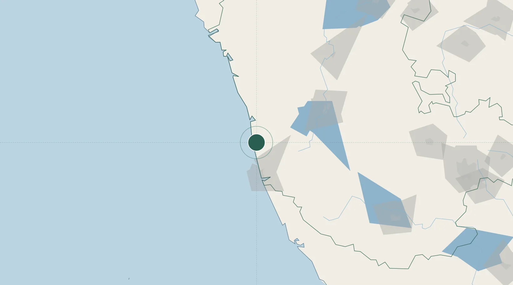
Hub Profile
Region
KA
Location
Nearby Logistics Neighbours
Cities
- 1Mangalore46 km
- 2Mangalore56 km
- 3Mangalore SEZ56 km
- 4Kanara77 km
- 5Shimoga108 km
Ports
- 1New Mangalore49 km
- 2Belekeri159 km
- 3Azhikal (Azhikkal)168 km
- 4Karwar177 km
- 5Marmagao252 km
Airports
- 1Mangaluru International Airport46 km
- 2Rashtrakavi Kuvempu Airport110 km
- 3Kannur International Airport181 km
- 4Hubballi Airport227 km
- 5Mysore Airport241 km
Trade Zones
DatabookThe Record of Consolidated Knowledge
India beyond logistics?