Runway & Layout

Airport Specifications
IATA code
RQY
ICAO code
VOSH
Airport class
Medium airport
Scheduled service
No
Served city
Shimoga
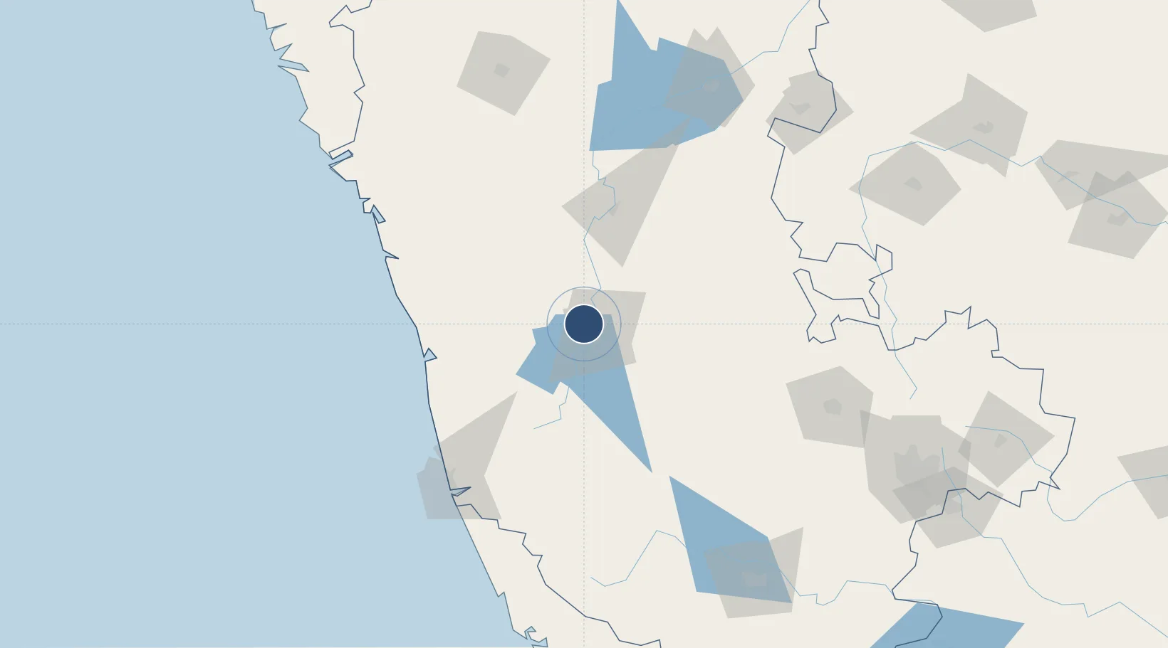
Location
Nearby Logistics Neighbours
Airports
- 1Mangaluru International Airport128 km
- 2Hubballi Airport177 km
- 3Bellary Airport199 km
- 4Mysore Airport213 km
- 5Kannur International Airport216 km
Cities
- 1Shimoga9 km
- 2Kanara69 km
- 3Hassan108 km
- 4OPTO INFRA SEZ/Hassan108 km
- 5Kiadbfp-SEZ/Hassan108 km
Ports
- 1New Mangalore136 km
- 2Belekeri173 km
- 3Karwar194 km
- 4Azhikal (Azhikkal)215 km
- 5Marmagao262 km
Trade Zones
DatabookThe Record of Consolidated Knowledge
India beyond logistics?