Large airport · India

Mangaluru International AirportVOML
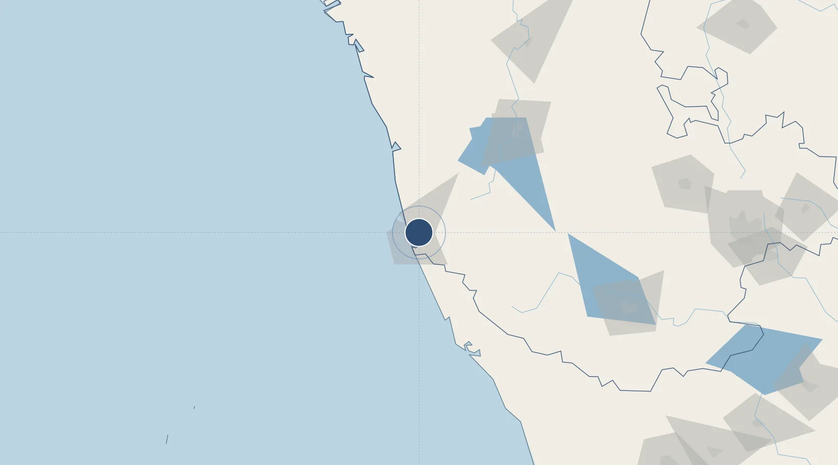
12.9547°, 74.8868°
8,035 ft
Longest runway
1
Runways
337 ft
Elevation

Runway & Layout

Mangaluru International Airport runway & taxiway layout
Runway & taxiway layout — OpenStreetMap (ODbL) / OurAirports

Radio Frequencies

TWR
122.1 MHz
APP
122.1 MHz
ACC
127.55 MHz
OurAirports

Navaids

ML NDB Mangalore 357 kHz
MML VOR-DME Mangalore 114.20 MHz
OurAirports

Runways · 1

RunwayDimensions SurfaceTrue headingLit
06/24 8,035 × 151ft Concrete
OurAirports

Airport Specifications

IATA code
IXE
OurAirports
ICAO code
VOML
OurAirports
Airport class
Large airport
OurAirports
Scheduled service
Yes
OurAirports
Runway surface
Concrete
OurAirports
Served city
Mangaluru
OurAirports

Location

Location of VOML
Natural Earth 10m (public domain) · Karnataka · VOML · 12.95, 74.89GoogleOSMYandex

Nearby Logistics Neighbours

Airports
  1. 1Rashtrakavi Kuvempu Airport128 km
  2. 2Kannur International Airport136 km
  3. 3Mysore Airport208 km
  4. 4Calicut International Airport233 km
  5. 5Hubballi Airport268 km
Nearest neighbours — logibook spatial index (haversine) over the source coordinates
Cities
  1. 1Mangalore7 km
  2. 2Mangalore10 km
  3. 3Mangalore SEZ10 km
  4. 4Synefra-SEZ/Udupi46 km
  5. 5Payyannur101 km
Nearest neighbours — logibook spatial index (haversine) over the source coordinates
Ports
  1. 1New Mangalore9 km
  2. 2Azhikal (Azhikkal)121 km
  3. 3Belekeri205 km
  4. 4Calicut (Kozhikode)212 km
  5. 5Beypore222 km
Nearest neighbours — logibook spatial index (haversine) over the source coordinates
Trade Zones
  1. 1Infosys Ltd. SEZ (Mangaluru)8 km
  2. 2Mangalore Special Economic Zone8 km
  3. 3Suzlon Infrastructure Ltd.22 km
  4. 4Aspen, Padubidri Special Economic Zone (Formerly Aspen)24 km
  5. 5Kiadb SEZ Hassan - Textiles131 km
Nearest neighbours — logibook spatial index (haversine) over the source coordinates
DatabookThe Record of Consolidated Knowledge
India beyond logistics?
Browse databook

All Sources

AirportsOurAirports
Public domain
Portsthe NGA World Port Index
Public domain (US gov)
LocationsUN/LOCODE
UN/LOCODE — free
Trade Zonesthe World Bank SEZ database
CC BY 4.0
Trade ZonesOpen Zone Map
CC BY
InfrastructureOpenStreetMap
ODbL 1.0
← India airports