Transport Functions
Port
Hub Profile
Region
KA
Logistics facilities
4
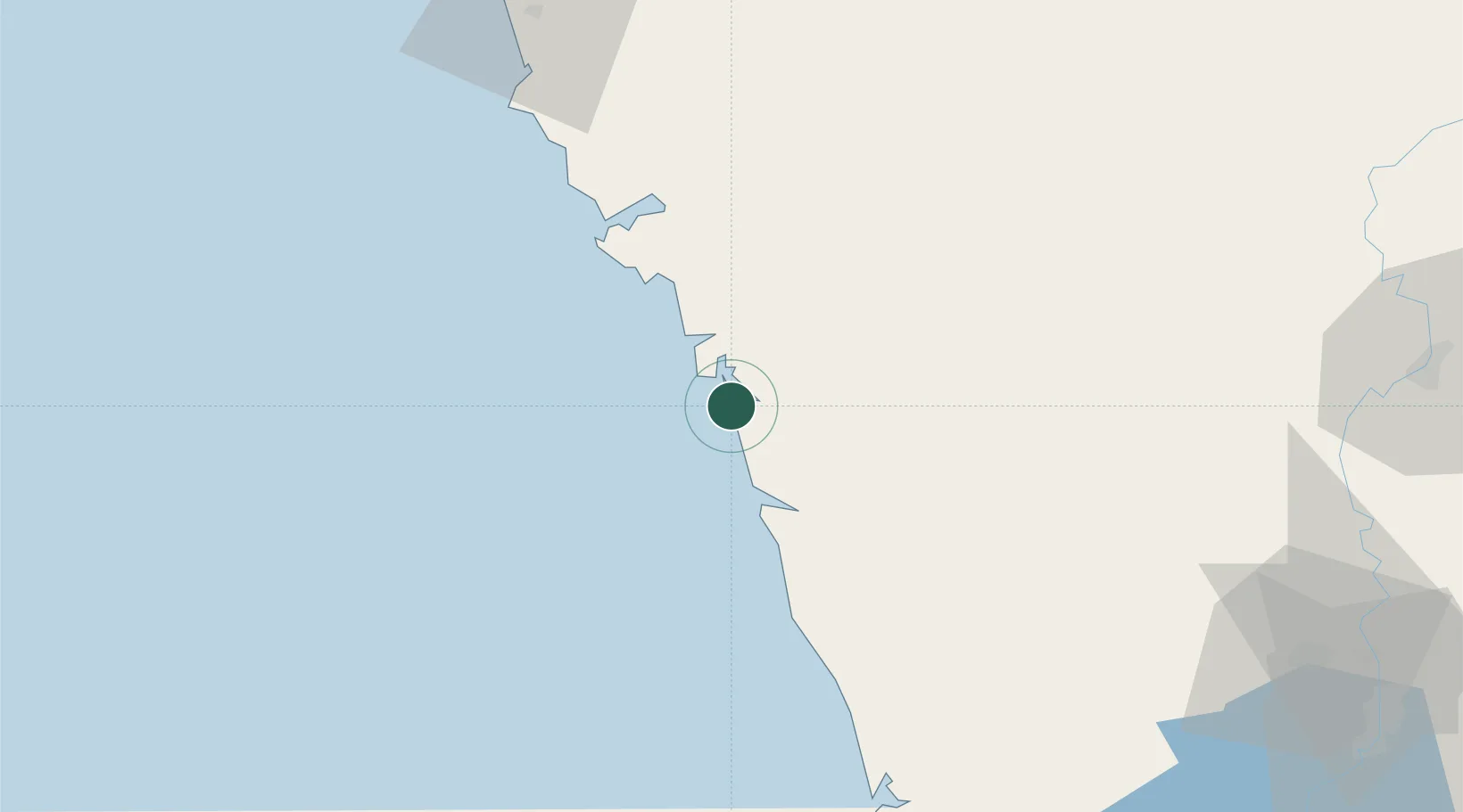
Location
Nearby Logistics Neighbours
Ports
- 1Belekeri28 km
- 2Karwar48 km
- 3Marmagao123 km
- 4Panaji130 km
- 5Azhikal (Azhikkal)298 km
Airports
- 1Goa Dabolim International Airport117 km
- 2Hubballi Airport126 km
- 3Rashtrakavi Kuvempu Airport151 km
- 4Manohar International Airport152 km
- 5Belagavi Airport157 km
Trade Zones
DatabookThe Record of Consolidated Knowledge
India beyond logistics?