UN/LOCODE hub · India
INIXE

Mangalore

12.9450°, 74.8198°
2
Transport functions
1
Container terminals

Transport Functions

Port
Airport
UN/LOCODE

Hub Profile

Region
KA
GeoNames
Logistics facilities
5
UN/LOCODE
Container terminals
1
UN/LOCODE

Location

Location of INIXE
Natural Earth 10m (public domain) · KA · INIXE · 12.95, 74.82GoogleOSMYandex

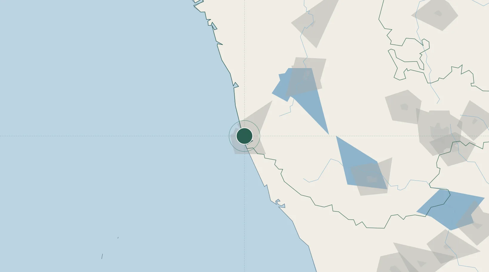
Nearby Logistics Neighbours

Cities
  1. 1Mangalore11 km
  2. 2Mangalore SEZ11 km
  3. 3Synefra-SEZ/Udupi46 km
  4. 4Payyannur103 km
  5. 5Taliparamba115 km
Nearest neighbours — logibook spatial index (haversine) over the source coordinates
Ports
  1. 1New Mangalore3 km
  2. 2Azhikal (Azhikkal)123 km
  3. 3Belekeri204 km
  4. 4Calicut (Kozhikode)215 km
  5. 5Karwar222 km
Nearest neighbours — logibook spatial index (haversine) over the source coordinates
Airports
  1. 1Mangaluru International Airport7 km
  2. 2Rashtrakavi Kuvempu Airport133 km
  3. 3Kannur International Airport139 km
  4. 4Mysore Airport214 km
  5. 5Calicut International Airport236 km
Nearest neighbours — logibook spatial index (haversine) over the source coordinates
Trade Zones
  1. 1Infosys Ltd. SEZ (Mangaluru)5 km
  2. 2Mangalore Special Economic Zone5 km
  3. 3Suzlon Infrastructure Ltd.21 km
  4. 4Aspen, Padubidri Special Economic Zone (Formerly Aspen)22 km
  5. 5Keonics Shimoga138 km
Nearest neighbours — logibook spatial index (haversine) over the source coordinates
DatabookThe Record of Consolidated Knowledge
India beyond logistics?
Browse databook

All Sources

LocationsUN/LOCODE
UN/LOCODE — free
Portsthe NGA World Port Index
Public domain (US gov)
AirportsOurAirports
Public domain
Trade Zonesthe World Bank SEZ database
CC BY 4.0
Trade ZonesOpen Zone Map
CC BY
← India locations