UN/LOCODE hub · India
INMAQ

Mangalore SEZ

12.8667°, 74.8833°
1
Transport functions

Transport Functions

Multimodal
UN/LOCODE

Hub Profile

Region
KA
GeoNames

Location

Location of INMAQ
Natural Earth 10m (public domain) · KA · INMAQ · 12.87, 74.88GoogleOSMYandex

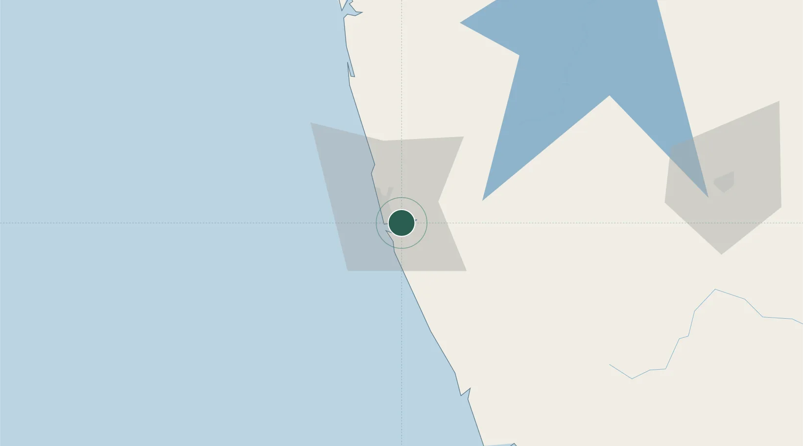
Nearby Logistics Neighbours

Cities
  1. 1Mangalore0 km
  2. 2Mangalore11 km
  3. 3Synefra-SEZ/Udupi56 km
  4. 4Payyannur92 km
  5. 5Taliparamba104 km
Nearest neighbours — logibook spatial index (haversine) over the source coordinates
Ports
  1. 1New Mangalore9 km
  2. 2Azhikal (Azhikkal)112 km
  3. 3Calicut (Kozhikode)204 km
  4. 4Beypore214 km
  5. 5Belekeri215 km
Nearest neighbours — logibook spatial index (haversine) over the source coordinates
Airports
  1. 1Mangaluru International Airport10 km
  2. 2Kannur International Airport128 km
  3. 3Rashtrakavi Kuvempu Airport136 km
  4. 4Mysore Airport205 km
  5. 5Calicut International Airport225 km
Nearest neighbours — logibook spatial index (haversine) over the source coordinates
Trade Zones
  1. 1Mangalore Special Economic Zone6 km
  2. 2Infosys Ltd. SEZ (Mangaluru)7 km
  3. 3Suzlon Infrastructure Ltd.31 km
  4. 4Aspen, Padubidri Special Economic Zone (Formerly Aspen)33 km
  5. 5Kiadb SEZ Hassan - Textiles132 km
Nearest neighbours — logibook spatial index (haversine) over the source coordinates
DatabookThe Record of Consolidated Knowledge
India beyond logistics?
Browse databook

All Sources

LocationsUN/LOCODE
UN/LOCODE — free
Portsthe NGA World Port Index
Public domain (US gov)
AirportsOurAirports
Public domain
Trade Zonesthe World Bank SEZ database
CC BY 4.0
Trade ZonesOpen Zone Map
CC BY
← India locations