UN/LOCODE hub · India
INPAK

Payyannur

12.1000°, 75.2000°
1
Transport functions

Transport Functions

Multimodal
UN/LOCODE

Hub Profile

Region
KL
GeoNames

Location

Location of INPAK
Natural Earth 10m (public domain) · KL · INPAK · 12.10, 75.20GoogleOSMYandex

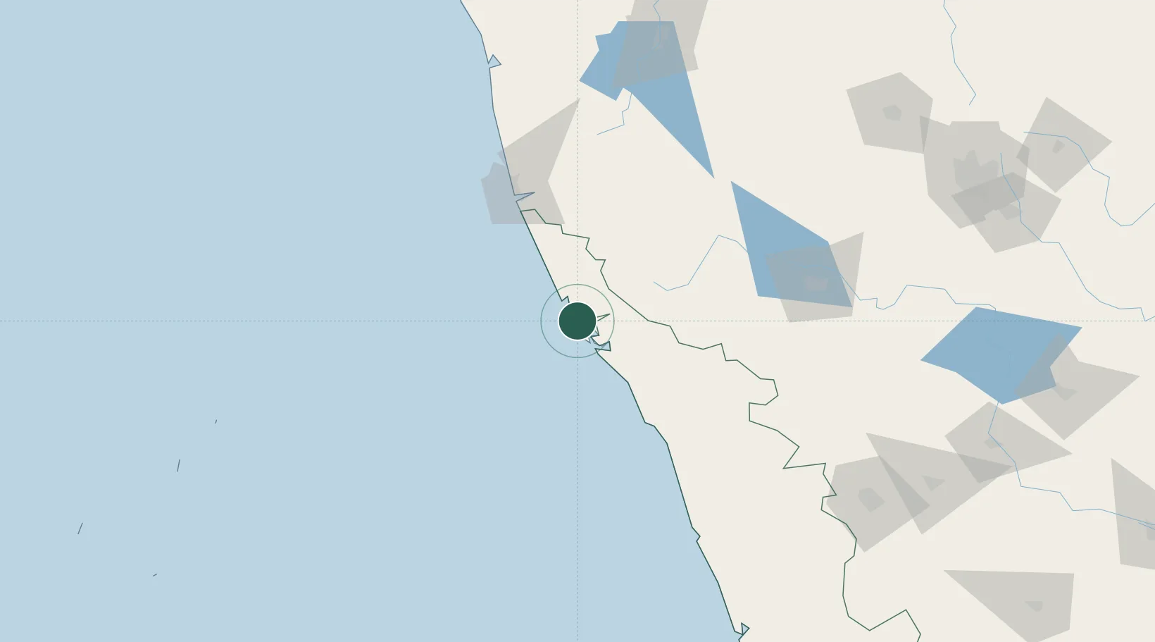
Nearby Logistics Neighbours

Cities
  1. 1Taliparamba17 km
  2. 2Mahe57 km
  3. 3Siddapur76 km
  4. 4Kollam89 km
  5. 5Mangalore92 km
Nearest neighbours — logibook spatial index (haversine) over the source coordinates
Ports
  1. 1Azhikal (Azhikkal)21 km
  2. 2New Mangalore100 km
  3. 3Calicut (Kozhikode)113 km
  4. 4Beypore123 km
  5. 5Kochi (Cochin)263 km
Nearest neighbours — logibook spatial index (haversine) over the source coordinates
Airports
  1. 1Kannur International Airport43 km
  2. 2Mangaluru International Airport101 km
  3. 3Calicut International Airport135 km
  4. 4Mysore Airport159 km
  5. 5Rashtrakavi Kuvempu Airport201 km
Nearest neighbours — logibook spatial index (haversine) over the source coordinates
DatabookThe Record of Consolidated Knowledge
India beyond logistics?
Browse databook

All Sources

LocationsUN/LOCODE
UN/LOCODE — free
Portsthe NGA World Port Index
Public domain (US gov)
AirportsOurAirports
Public domain
Trade Zonesthe World Bank SEZ database
CC BY 4.0
Trade ZonesOpen Zone Map
CC BY
← India locations