Large airport · India

Calicut International AirportVOCL
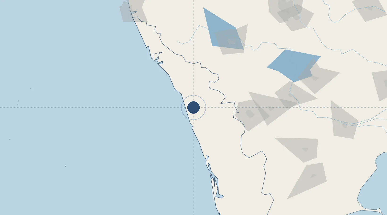
11.1360°, 75.9552°
9,383 ft
Longest runway
1
Runways
342 ft
Elevation

Runway & Layout

Calicut International Airport runway & taxiway layout
Runway & taxiway layout — OpenStreetMap (ODbL) / OurAirports

Radio Frequencies

ATIS
127 MHz
TWR
122.95 MHz
OurAirports

Navaids

CL NDB Calicut 303 kHz
CLC VOR-DME Calicut 116.50 MHz
OurAirports

Runways · 1

RunwayDimensions SurfaceTrue headingLit
10/28 9,383 × 150ft Asphalt 101°
OurAirports

Airport Specifications

IATA code
CCJ
OurAirports
ICAO code
VOCL
OurAirports
Airport class
Large airport
OurAirports
Scheduled service
Yes
OurAirports
Runway surface
Asphalt
OurAirports
Served city
Calicut
OurAirports

Location

Location of VOCL
Natural Earth 10m (public domain) · Kerala · VOCL · 11.14, 75.96GoogleOSMYandex

Nearby Logistics Neighbours

Airports
  1. 1Kannur International Airport98 km
  2. 2Coimbatore International Airport119 km
  3. 3Cochin International Airport120 km
  4. 4Mysore Airport143 km
  5. 5Mangaluru International Airport233 km
Nearest neighbours — logibook spatial index (haversine) over the source coordinates
Cities
  1. 1Kozhikode (ex Calicut)24 km
  2. 2Kinfrafp-SEZ/Kozhikkode24 km
  3. 3Kollam46 km
  4. 4Tics ICD/Mathilakam75 km
  5. 5Mahe78 km
Nearest neighbours — logibook spatial index (haversine) over the source coordinates
Ports
  1. 1Beypore17 km
  2. 2Calicut (Kozhikode)24 km
  3. 3Azhikal (Azhikkal)114 km
  4. 4Kochi (Cochin)134 km
  5. 5New Mangalore234 km
Nearest neighbours — logibook spatial index (haversine) over the source coordinates
Trade Zones
  1. 1Kinfra (Food Processing) SEZ Kakkancherry7 km
  2. 2Kerala State Information Technology Infrastructure Limited18 km
  3. 3Span Ventures114 km
  4. 4Rathinam Techzone114 km
  5. 5Carborundum Universal Ltd127 km
Nearest neighbours — logibook spatial index (haversine) over the source coordinates
DatabookThe Record of Consolidated Knowledge
India beyond logistics?
Browse databook

All Sources

AirportsOurAirports
Public domain
Portsthe NGA World Port Index
Public domain (US gov)
LocationsUN/LOCODE
UN/LOCODE — free
Trade Zonesthe World Bank SEZ database
CC BY 4.0
Trade ZonesOpen Zone Map
CC BY
InfrastructureOpenStreetMap
ODbL 1.0
← India airports