Channel & Berth Profile
Pilotage, Tugs & Services
Pilotage compulsoryYES
Pilotage availableYES
Tug assistanceYES
Potable waterYES
Diesel bunkersYES
MedicalYES
Garbage disposalYES
Facilities & Capabilities
Container—
Ro-Ro—
Liquid bulk—
Dry bulk—
Oil terminal—
Break bulk—
Dry dock—
RepairsNO
Bunkering—
Rail linkYES
Dangerous cargo—
ISPS security—
Harbour Specifications
Harbour size
Very Small
Harbour type
Open Roadstead
Shelter
Fair
Water body
Laccadive Sea; Indian Ocean
Tidal range
1 m
Overhead limit
No
Pilotage
Yes
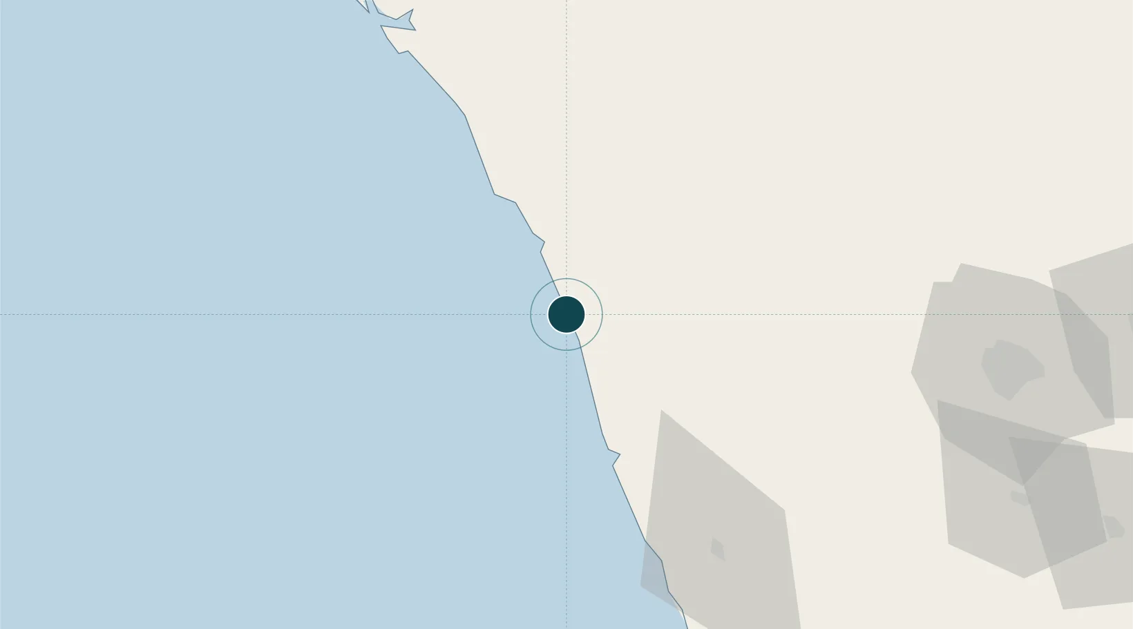
Location
Nearby Logistics Neighbours
Ports
- 1Calicut (Kozhikode)10 km
- 2Azhikal (Azhikkal)102 km
- 3Kochi (Cochin)142 km
- 4New Mangalore222 km
- 5Quilon (Kollam)269 km
Cities
- 1Kozhikode (ex Calicut)10 km
- 2Kinfrafp-SEZ/Kozhikkode10 km
- 3Kollam34 km
- 4Mahe66 km
- 5Tics ICD/Mathilakam85 km
Airports
- 1Calicut International Airport17 km
- 2Kannur International Airport88 km
- 3Cochin International Airport131 km
- 4Coimbatore International Airport137 km
- 5Mysore Airport150 km
Trade Zones
DatabookThe Record of Consolidated Knowledge
India beyond logistics?