Transport Functions
Rail
Road
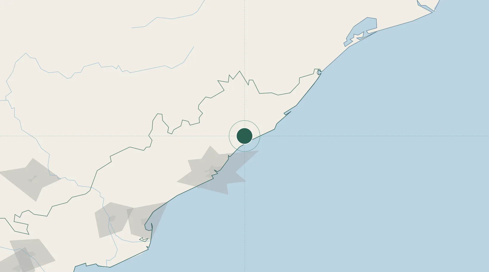
Hub Profile
Place type
Populated place
Region
Andhra Pradesh
Time zone
Asia/Kolkata
Elevation
60 m
Location
Nearby Logistics Neighbours
Cities
- 1Wipro Sez/Resapuvanipalem65 km
- 2BIACPL SEZ/Visakhapatnam69 km
- 3APIICL SEZ/Visakhapatnam69 km
- 4RPCIPL SEZ/Visakhapatnam69 km
- 5Aal-SEZ/Vishakhapatnam69 km
Ports
- 1Vishakhapatnam70 km
- 2Gangavaram78 km
- 3Gopalpur182 km
- 4Kakinada Bay197 km
- 5Paradip390 km
Airports
- 1Visakhapatnam International Airport72 km
- 2Jagdalpur Airport199 km
- 3Utkela Airport218 km
- 4Rajahmundry Airport233 km
- 5Biju Patnaik International Airport320 km
Trade Zones
DatabookThe Record of Consolidated Knowledge
India beyond logistics?