UN/LOCODE hub · India
INPLS

Palasa

18.7667°, 84.4167°
65,833
Population
1
Transport functions

Transport Functions

Multimodal
UN/LOCODE

Hub Profile

Place type
Populated place
GeoNames
Region
Andhra Pradesh
GeoNames
Population
65,833
GeoNames
Time zone
Asia/Kolkata
GeoNames
Elevation
36 m
GeoNames

Location

Location of INPLS
Natural Earth 10m (public domain) · Andhra Pradesh · INPLS · 18.77, 84.42GoogleOSMYandex

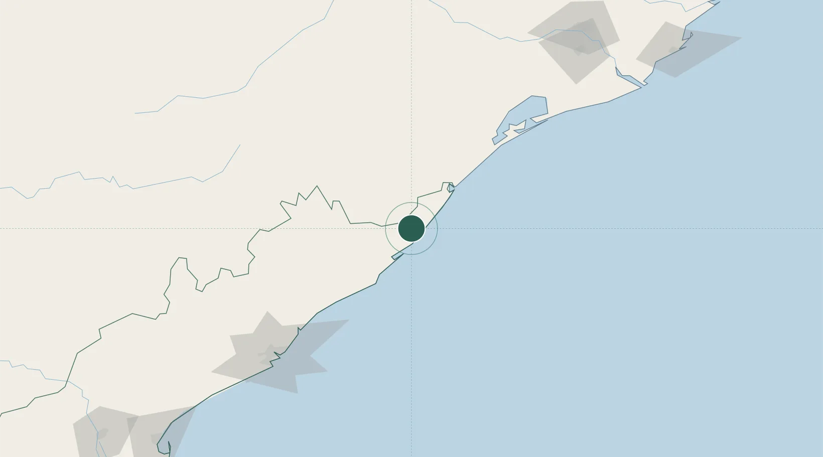
Nearby Logistics Neighbours

Cities
  1. 1Tata Steel SEZ/Ganjam97 km
  2. 2Ranasthalam100 km
  3. 3Wipro Sez/Resapuvanipalem163 km
  4. 4Orissa164 km
  5. 5BIACPL SEZ/Visakhapatnam167 km
Nearest neighbours — logibook spatial index (haversine) over the source coordinates
Ports
  1. 1Gopalpur83 km
  2. 2Vishakhapatnam169 km
  3. 3Gangavaram176 km
  4. 4Paradip290 km
  5. 5Kakinada Bay297 km
Nearest neighbours — logibook spatial index (haversine) over the source coordinates
Airports
  1. 1Visakhapatnam International Airport171 km
  2. 2Utkela Airport197 km
  3. 3Biju Patnaik International Airport221 km
  4. 4Jagdalpur Airport253 km
  5. 5Rajahmundry Airport332 km
Nearest neighbours — logibook spatial index (haversine) over the source coordinates
Trade Zones
  1. 1Saraf Agencies private Limited85 km
  2. 2Divi’s Laboratories Limited135 km
  3. 3Vedanta Aluminium Limited150 km
  4. 4Apiic, Madhurwada, Hill No. 2152 km
  5. 5Apiic Ltd. (Specialized Zone (IT)) Madhurwada, Hill No. 3153 km
Nearest neighbours — logibook spatial index (haversine) over the source coordinates
DatabookThe Record of Consolidated Knowledge
India beyond logistics?
Browse databook

All Sources

LocationsUN/LOCODE
UN/LOCODE — free
LocationsGeoNames
CC BY 4.0
Portsthe NGA World Port Index
Public domain (US gov)
AirportsOurAirports
Public domain
Trade Zonesthe World Bank SEZ database
CC BY 4.0
Trade ZonesOpen Zone Map
CC BY
← India locations