Medium airport · United Kingdom
Warton AerodromeEGNO
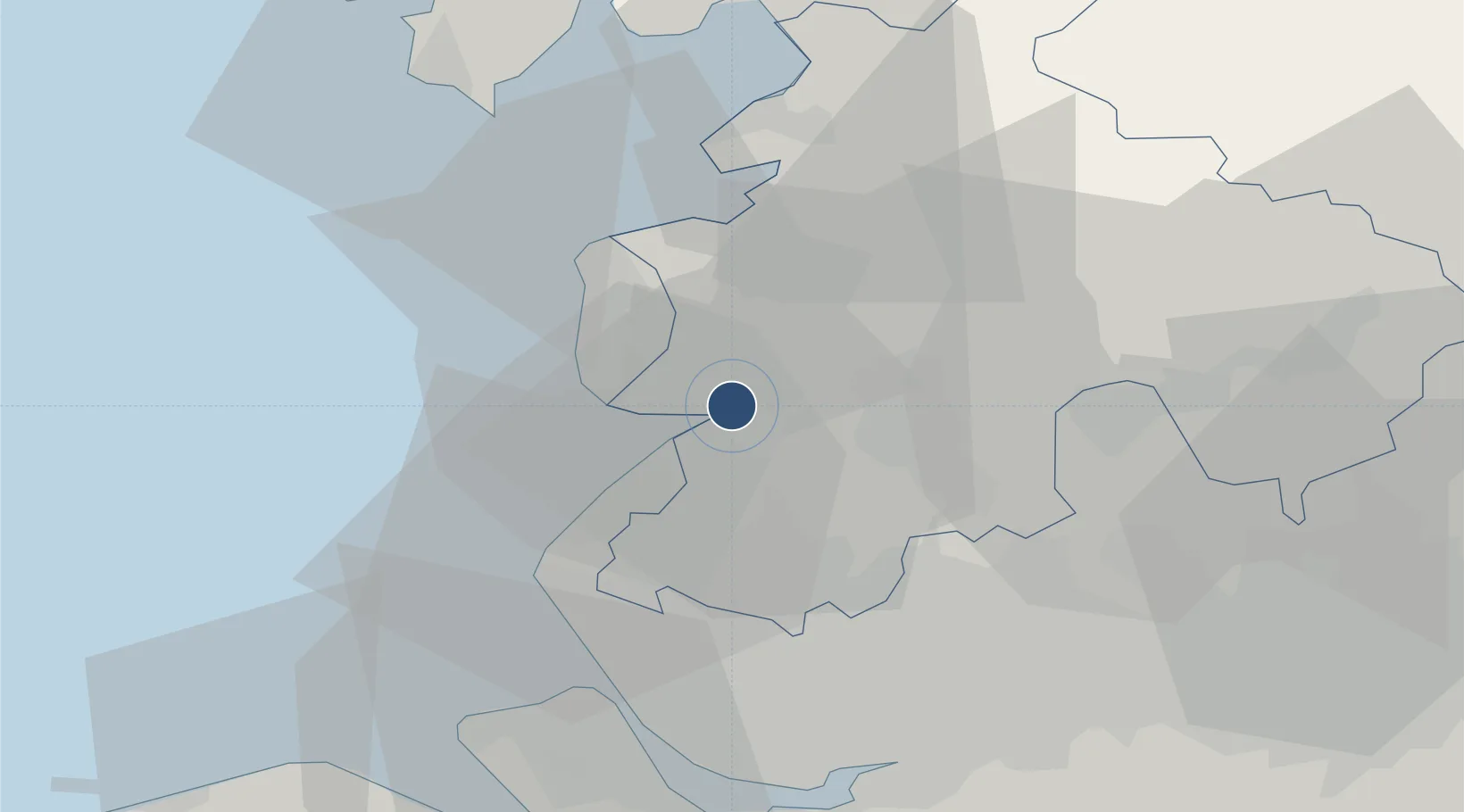
53.7451°, -2.8831°
7,946 ft
Longest runway
1
Runways
55 ft
Elevation
Runway & Layout

Radio Frequencies
ATIS
121.725 MHz
TWR
130.8 MHz
APP
129.525 MHz
RDR
129.525 MHz
Navaids
WTN TACAN Warton 113.20 MHz
WTN NDB Warton 337 kHz
Runways · 1
| Runway | Dimensions | Surface | True heading | Lit |
|---|---|---|---|---|
| 07/25 | 7,946 × 151ft | Asphalt | 071° | ✓ |
Airport Specifications
IATA code
WRT
ICAO code
EGNO
Airport class
Medium airport
Scheduled service
No
Runway surface
Asphalt
Served city
Warton
Location
Nearby Logistics Neighbours
Airports
- 1Blackpool Airport10 km
- 2Liverpool John Lennon Airport46 km
- 3Barrow Walney Island Airport50 km
- 4Manchester Airport59 km
- 5Hawarden Airport63 km
Cities
- 1Much Hoole7 km
- 2Holmeswood11 km
- 3Preston11 km
- 4Saint-Anne's-on-Sea11 km
- 5Farington12 km
Trade Zones
DatabookThe Record of Consolidated Knowledge
United Kingdom beyond logistics?