Transport Functions
Port
Hub Profile
Place type
Populated place
Region
Leinster
Population
2,145
Time zone
Europe/Dublin
Elevation
41 m
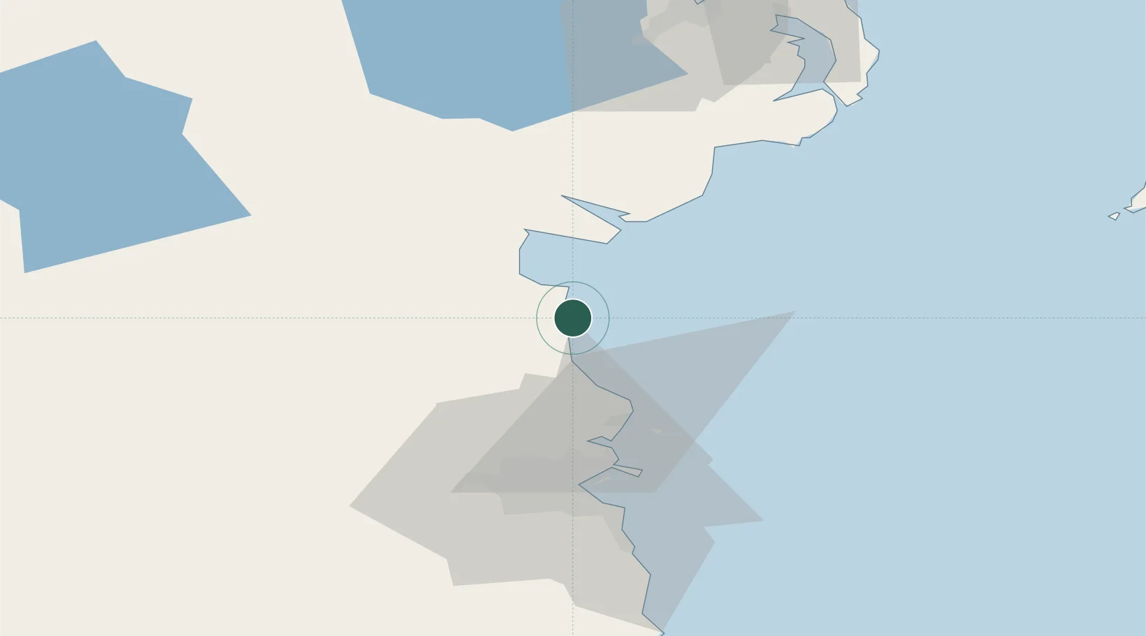
Location
Nearby Logistics Neighbours
Cities
- 1Tom Roes Point Terminal/Drogheda9 km
- 2Drogheda Maxol Facility10 km
- 3Town Quays/Drogheda10 km
- 4Flogas Products Drogheda11 km
- 5Gormanston19 km
Ports
- 1Drogheda9 km
- 2Greenore29 km
- 3Kilkeel34 km
- 4Warren Point35 km
- 5Dublin48 km
Airports
- 1Dublin Airport40 km
- 2Weston Airport51 km
- 3Casement Air Base56 km
- 4George Best Belfast City Airport96 km
- 5Belfast International Airport97 km
Trade Zones
DatabookThe Record of Consolidated Knowledge
Ireland beyond logistics?