UN/LOCODE hub · Ireland
IEFPD

Flogas Products Drogheda

53.7167°, -6.3500°
1
Transport functions

Transport Functions

Port
UN/LOCODE

Hub Profile

Region
LH
GeoNames

Location

Location of IEFPD
Natural Earth 10m (public domain) · LH · IEFPD · 53.72, -6.35GoogleOSMYandex

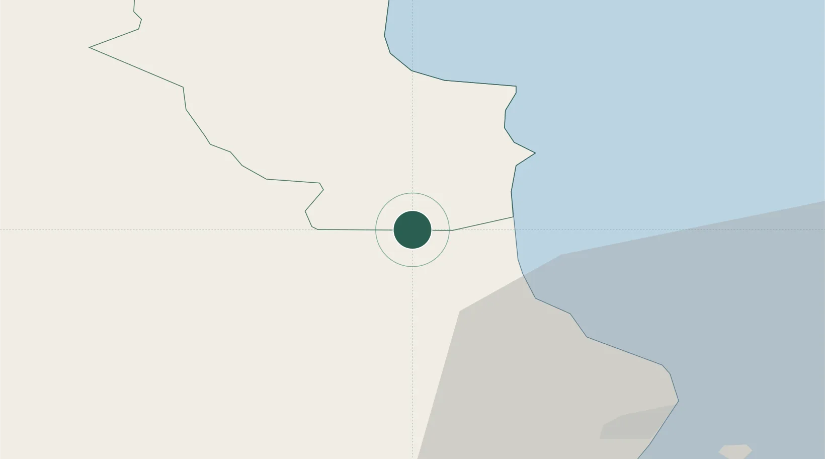
Nearby Logistics Neighbours

Cities
  1. 1Drogheda Maxol Facility1 km
  2. 2Town Quays/Drogheda1 km
  3. 3Tom Roes Point Terminal/Drogheda3 km
  4. 4Clogherhead11 km
  5. 5Gormanston14 km
Nearest neighbours — logibook spatial index (haversine) over the source coordinates
Ports
  1. 1Drogheda3 km
  2. 2Greenore38 km
  3. 3Dublin41 km
  4. 4Warren Point43 km
  5. 5Kilkeel44 km
Nearest neighbours — logibook spatial index (haversine) over the source coordinates
Airports
  1. 1Dublin Airport33 km
  2. 2Weston Airport42 km
  3. 3Casement Air Base47 km
  4. 4George Best Belfast City Airport105 km
  5. 5Belfast International Airport105 km
Nearest neighbours — logibook spatial index (haversine) over the source coordinates
Trade Zones
  1. 1Dublin International Financial Services Centre41 km
  2. 2Isle of Man Free Zone and Business Park120 km
  3. 3Shannon Free Zone204 km
  4. 4Blackpool Enterprise Zone218 km
  5. 5Mersey Waters Enterprise Zone223 km
Nearest neighbours — logibook spatial index (haversine) over the source coordinates
DatabookThe Record of Consolidated Knowledge
Ireland beyond logistics?
Browse databook

All Sources

LocationsUN/LOCODE
UN/LOCODE — free
Portsthe NGA World Port Index
Public domain (US gov)
AirportsOurAirports
Public domain
Trade Zonesthe World Bank SEZ database
CC BY 4.0
Trade ZonesOpen Zone Map
CC BY
← Ireland locations