UN/LOCODE hub · Haiti
HTPEG

Petit Goâve

18.4333°, -72.8667°
1
Transport functions

Transport Functions

Port
Petit Goâve is also a profiled seaport →
UN/LOCODE

Hub Profile

Region
OU
GeoNames

Location

Location of HTPEG
Natural Earth 10m (public domain) · OU · HTPEG · 18.43, -72.87GoogleOSMYandex

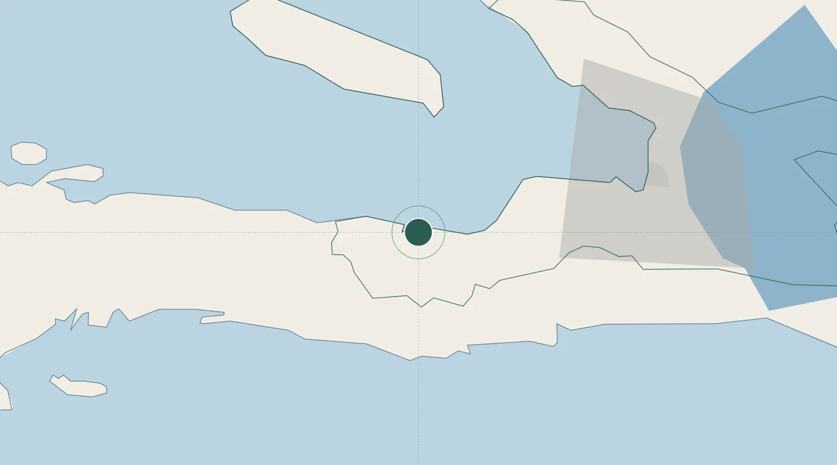
Nearby Logistics Neighbours

Cities
  1. 1Leogane26 km
  2. 2Santo41 km
  3. 3Port-au-Prince58 km
  4. 4Turgeau59 km
  5. 5Lafiteau60 km
Nearest neighbours — logibook spatial index (haversine) over the source coordinates
Ports
  1. 1Miragoane23 km
  2. 2Jacmel42 km
  3. 3Port Au Prince56 km
  4. 4Cabo Rojo141 km
  5. 5Cap Haitien164 km
Nearest neighbours — logibook spatial index (haversine) over the source coordinates
Airports
  1. 1Jacmel Airport43 km
  2. 2Toussaint Louverture International Airport63 km
  3. 3Antoine-Simon International Airport99 km
  4. 4Jérémie Airport140 km
  5. 5Cabo Rojo Airport141 km
Nearest neighbours — logibook spatial index (haversine) over the source coordinates
Trade Zones
  1. 1FTZ Hispaniola59 km
  2. 2Lafito Port Free Zone61 km
  3. 3FTZ SIDSA (Société Immobilière de Développement SA)67 km
  4. 4Zone Franche Santo-Dujour (FTZ Santo Dujour)69 km
  5. 5FTZ de Digneron70 km
Nearest neighbours — logibook spatial index (haversine) over the source coordinates
DatabookThe Record of Consolidated Knowledge
Haiti beyond logistics?
Browse databook

All Sources

LocationsUN/LOCODE
UN/LOCODE — free
Portsthe NGA World Port Index
Public domain (US gov)
AirportsOurAirports
Public domain
Trade Zonesthe World Bank SEZ database
CC BY 4.0
Trade ZonesOpen Zone Map
CC BY
← Haiti locations