Medium airport · Haiti

Antoine-Simon International AirportMTCA
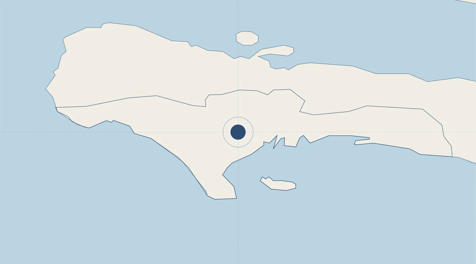
18.2711°, -73.7883°
3,220 ft
Longest runway
1
Runways
203 ft
Elevation

Runway & Layout

Antoine-Simon International Airport runway & taxiway layout
Runway & taxiway layout — OpenStreetMap (ODbL) / OurAirports

Radio Frequencies

TWR
118.5 MHz
OurAirports

Navaids

CAY NDB Cayes 350 kHz
OurAirports

Runways · 1

RunwayDimensions SurfaceTrue headingLit
08/26 3,220 × 80ft Asphalt 075°
OurAirports

Airport Specifications

IATA code
CYA
OurAirports
ICAO code
MTCA
OurAirports
Airport class
Medium airport
OurAirports
Scheduled service
Yes
OurAirports
Runway surface
Asphalt
OurAirports
Served city
Les Cayes
OurAirports

Location

Location of MTCA
Natural Earth 10m (public domain) · Sud · MTCA · 18.27, -73.79GoogleOSMYandex

Nearby Logistics Neighbours

Airports
  1. 1Jérémie Airport59 km
  2. 2Jacmel Airport134 km
  3. 3Toussaint Louverture International Airport162 km
  4. 4Port-de-Paix Airport210 km
  5. 5Cabo Rojo Airport230 km
Nearest neighbours — logibook spatial index (haversine) over the source coordinates
Cities
  1. 1Petit Goâve99 km
  2. 2Leogane125 km
  3. 3Santo140 km
  4. 4Baie de Saint-Marc148 km
  5. 5Port-au-Prince157 km
Nearest neighbours — logibook spatial index (haversine) over the source coordinates
Ports
  1. 1Miragoane77 km
  2. 2Petit Goave99 km
  3. 3Jacmel133 km
  4. 4Port Au Prince155 km
  5. 5Cabo Rojo229 km
Nearest neighbours — logibook spatial index (haversine) over the source coordinates
Trade Zones
  1. 1FTZ Hispaniola157 km
  2. 2Lafito Port Free Zone158 km
  3. 3FTZ SIDSA (Société Immobilière de Développement SA)166 km
  4. 4Zone Franche Santo-Dujour (FTZ Santo Dujour)167 km
  5. 5FTZ de Digneron169 km
Nearest neighbours — logibook spatial index (haversine) over the source coordinates
DatabookThe Record of Consolidated Knowledge
Haiti beyond logistics?
Browse databook

All Sources

AirportsOurAirports
Public domain
Portsthe NGA World Port Index
Public domain (US gov)
LocationsUN/LOCODE
UN/LOCODE — free
Trade Zonesthe World Bank SEZ database
CC BY 4.0
Trade ZonesOpen Zone Map
CC BY
InfrastructureOpenStreetMap
ODbL 1.0
← Haiti airports