Runway & Layout

Runways · 1
| Runway | Dimensions | Surface | True heading | Lit |
|---|---|---|---|---|
| 10/28 | — | — | — | — |
Airport Specifications
IATA code
JEE
ICAO code
MTJE
Airport class
Medium airport
Scheduled service
Yes
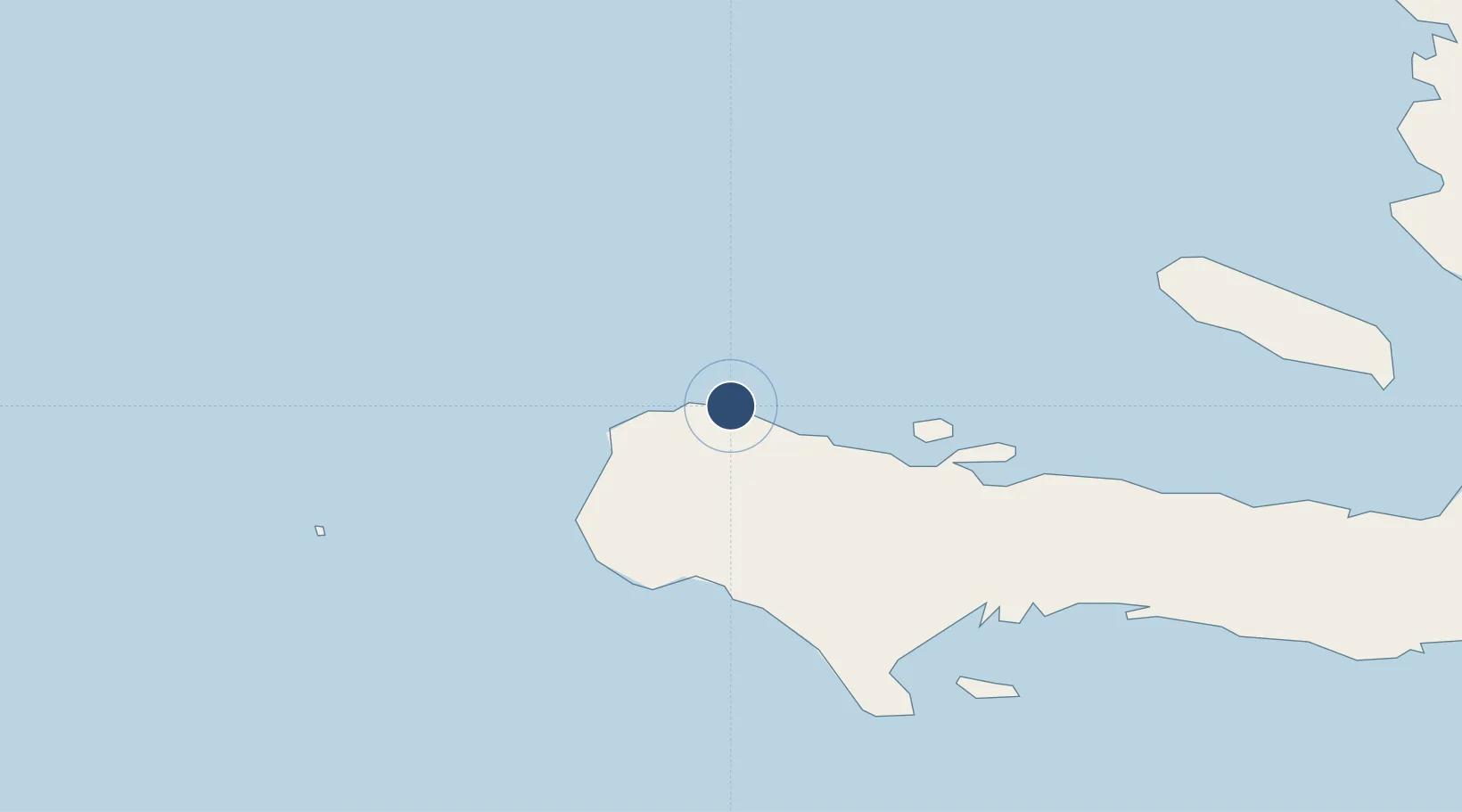
Served city
Carrefour Sanon
Location
Nearby Logistics Neighbours
Airports
- 1Antoine-Simon International Airport59 km
- 2Leeward Point Field176 km
- 3Jacmel Airport180 km
- 4Mariana Grajales Airport189 km
- 5Gustavo Rizo Airport193 km
Cities
- 1Petit Goâve140 km
- 2Baie de Saint-Marc163 km
- 3Leogane163 km
- 4Santo179 km
- 5Lafito Port192 km
Ports
- 1Miragoane117 km
- 2Petit Goave140 km
- 3Puerto Guantanamo178 km
- 4Jacmel179 km
- 5Baracoa191 km
Trade Zones
DatabookThe Record of Consolidated Knowledge
Haiti beyond logistics?