Diversified Zone · Côte d’Ivoire

Bonoua Industrial Park Active
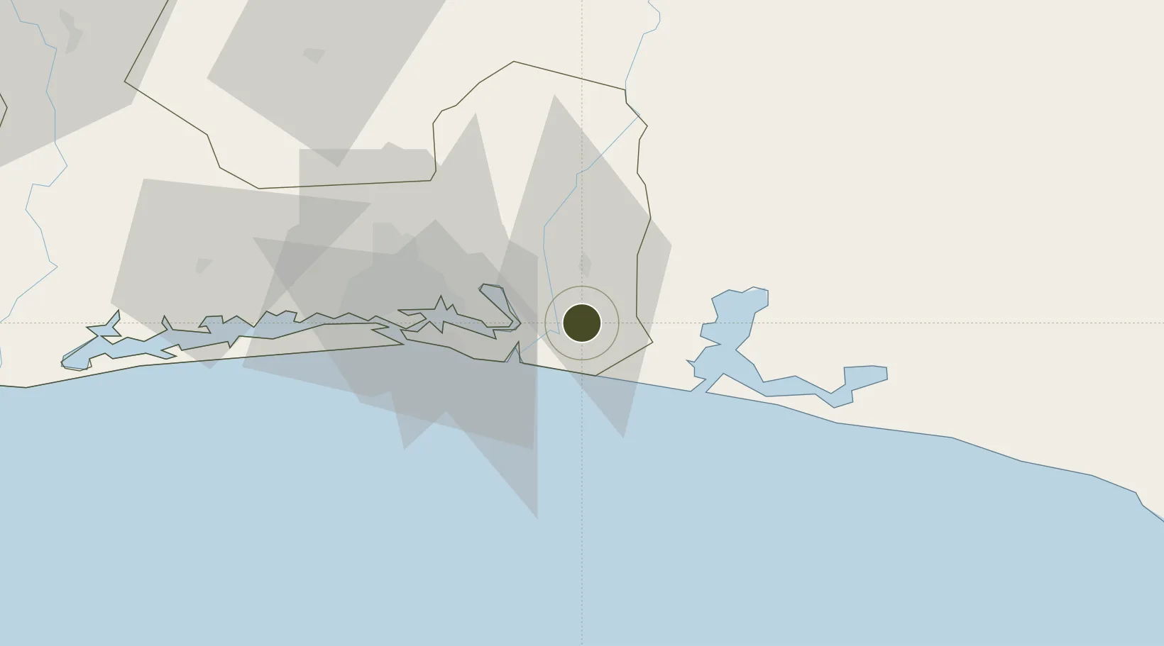
5.2829°, -3.5707°
500 ha
Zone area
44.2 km
Nearest port
39.4 km
Nearest airport

Gateway access

Nearest neighbours — logibook spatial index (haversine) over the source coordinates

Zone profile

Zone type
Diversified Zone
Open Zone Map
Region
Lagunes
Open Zone Map
Status
Active
Open Zone Map
Management
Public
Open Zone Map
Operator
Agency for the Management and Development of Industrial Infrastructure, National Fund for the Development of Industrial Zones
Open Zone Map
Legal framework
Law No. 2004-429 of 30 August 2004
Open Zone Map

Location

Location of ozm-1713
Natural Earth 10m (public domain) · Lagunes · ozm-1713 · 5.28, -3.57GoogleOSMYandex

Nearby Logistics Neighbours

Ports
  1. 1Port Bouet44 km
  2. 2Abidjan50 km
  3. 3Espoir Marine Terminal101 km
  4. 4Baobab Marine Terminal114 km
  5. 5Takoradi208 km
Nearest neighbours — logibook spatial index (haversine) over the source coordinates
Airports
  1. 1Félix-Houphouët-Boigny International Airport39 km
  2. 2Takoradi Airport204 km
  3. 3Yamoussoukro International Airport268 km
  4. 4Sunyani Airport269 km
  5. 5Prempeh I International Airport271 km
Nearest neighbours — logibook spatial index (haversine) over the source coordinates
Cities
  1. 1Assinie-Mafia37 km
  2. 2Port-Bouët44 km
  3. 3Vridi46 km
  4. 4Cocody48 km
  5. 5Abidjan52 km
Nearest neighbours — logibook spatial index (haversine) over the source coordinates
Trade Zones
  1. 1Mahatma Ghandi Free Trade Zone22 km
  2. 2Koumassi Industrial Park42 km
  3. 3Vridi Industrial Park48 km
  4. 4PK 24 Industrial Park66 km
  5. 5Shama Export Processing Zone198 km
Nearest neighbours — logibook spatial index (haversine) over the source coordinates
DatabookThe Record of Consolidated Knowledge
Côte d’Ivoire beyond logistics?
Browse databook

All Sources

Trade ZonesOpen Zone Map
CC BY
Portsthe NGA World Port Index
Public domain (US gov)
AirportsOurAirports
Public domain
LocationsUN/LOCODE
UN/LOCODE — free
← Côte d’Ivoire trade zones