UN/LOCODE hub · Ghana
GHTKD
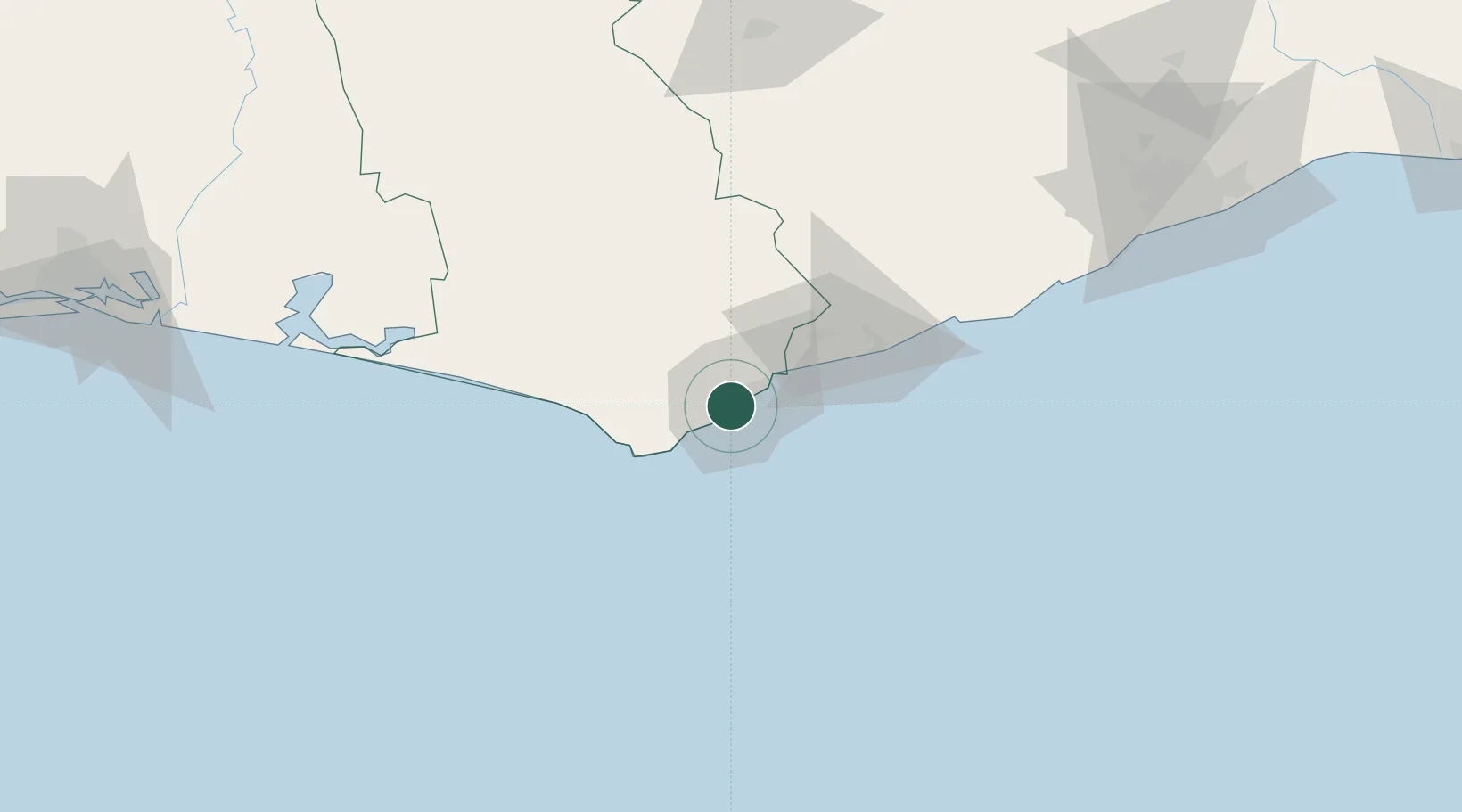
Takoradi
4.9108°, -1.7616°
389,114
Population
3
Transport functions
1
Container terminals
Transport Functions
Port
Airport
Postal
Hub Profile
Place type
Populated place
Region
Western
Population
389,114
Time zone
Africa/Accra
Elevation
10 m
Logistics facilities
9
Container terminals
1
Location
Nearby Logistics Neighbours
Cities
- 1Katamanso138 km
- 2Obuasi144 km
- 3Ahinsan161 km
- 4Assinie-Mafia170 km
- 5Ashaiman181 km
Ports
- 1Sekondi8 km
- 2Saltpond85 km
- 3Tema213 km
- 4Port Bouet247 km
- 5Abidjan253 km
Airports
Trade Zones
DatabookThe Record of Consolidated Knowledge
Ghana beyond logistics?