UN/LOCODE hub · Côte d’Ivoire
CIASS
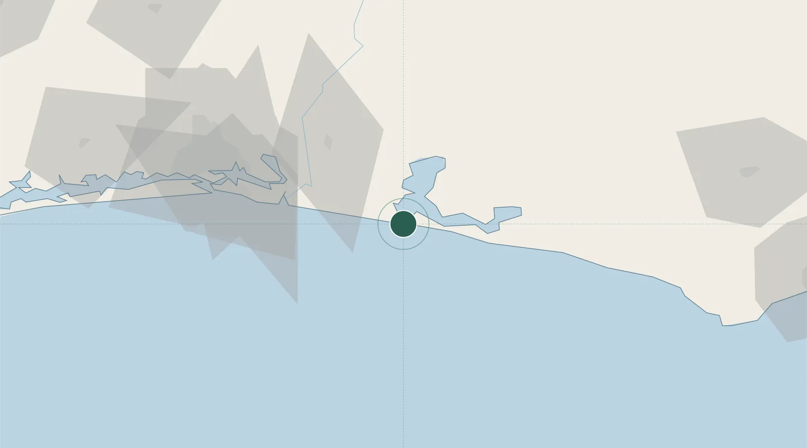
Assinie-Mafia
5.1167°, -3.2833°
7,338
Population
2
Transport functions
Transport Functions
Port
Road
Hub Profile
Place type
Populated place
Region
Comoé District
Population
7,338
Time zone
Africa/Abidjan
Elevation
6 m
Location
Nearby Logistics Neighbours
Cities
- 1Port-Bouët77 km
- 2Vridi79 km
- 3Cocody84 km
- 4Abidjan87 km
- 5Espoir122 km
Ports
- 1Port Bouet77 km
- 2Abidjan83 km
- 3Espoir Marine Terminal129 km
- 4Baobab Marine Terminal141 km
- 5Takoradi174 km
Airports
Trade Zones
- 1Bonoua Industrial Park37 km
- 2Mahatma Ghandi Free Trade Zone54 km
- 3Koumassi Industrial Park76 km
- 4Vridi Industrial Park81 km
- 5PK 24 Industrial Park102 km
DatabookThe Record of Consolidated Knowledge
Côte d’Ivoire beyond logistics?