Large airport · Côte d’Ivoire
Félix-Houphouët-Boigny International AirportDIAP
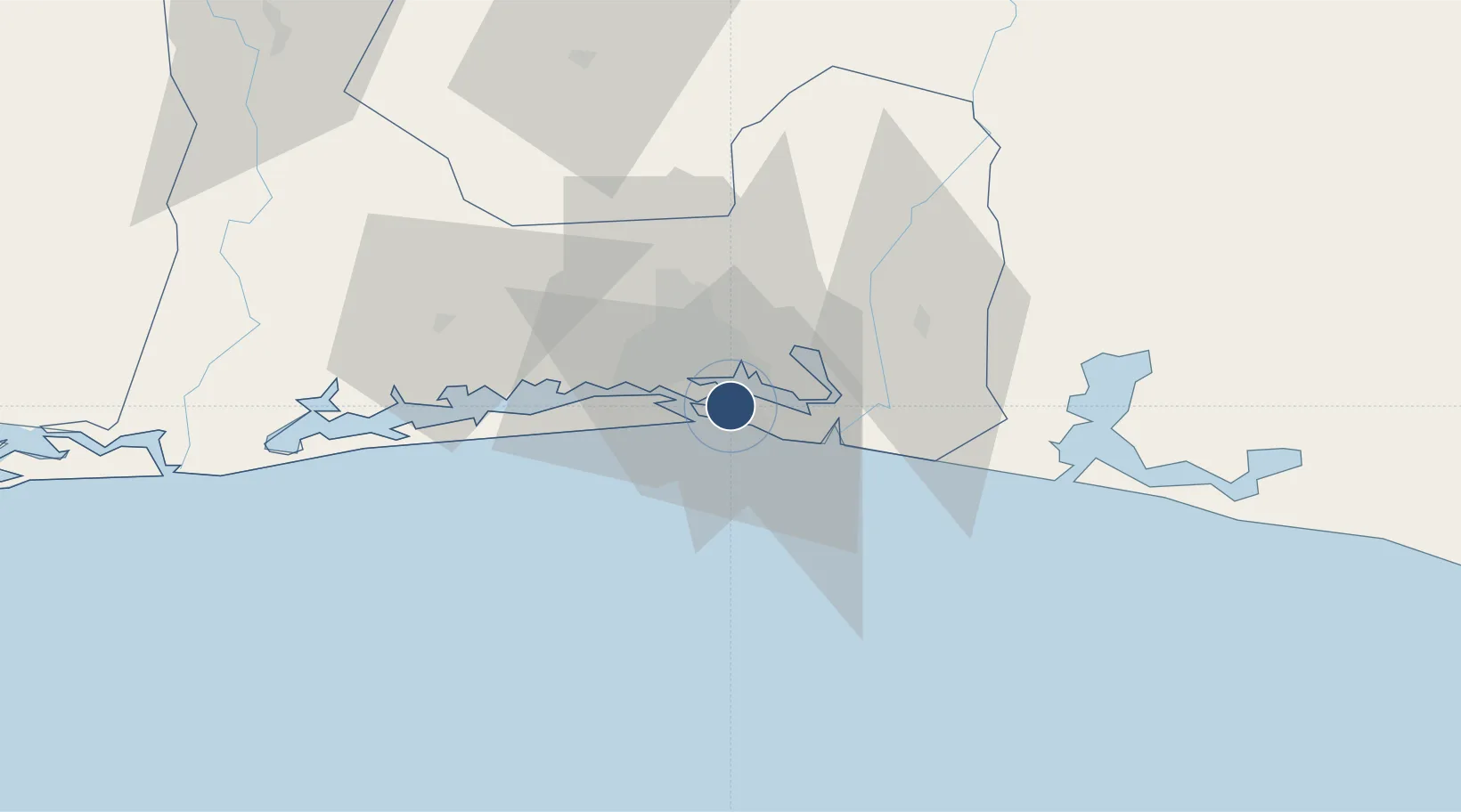
5.2614°, -3.9263°
9,843 ft
Longest runway
1
Runways
21 ft
Elevation
Runway & Layout

Radio Frequencies
ATIS
126.6 MHz
TWR
118.1 MHz
A/G
568 MHz
RDO
ACC
121.1 MHz
CON
AFIS
129.1 MHz
INFO
MISC
118.1 MHz
VHF/DF
Navaids
AD VOR-DME Abidjan 114.30 MHz
AN NDB Abidjan 306 kHz
PB NDB Abidjan Felix Houphouet Boigny 294 kHz
Runways · 1
| Runway | Dimensions | Surface | True heading | Lit |
|---|---|---|---|---|
| 03/21 | 9,843 × 164ft | Asphalt | 023° | ✓ |
Airport Specifications
IATA code
ABJ
ICAO code
DIAP
Airport class
Large airport
Scheduled service
Yes
Runway surface
Asphalt
Served city
Abidjan
Location
Nearby Logistics Neighbours
Airports
- 1Takoradi Airport242 km
- 2Yamoussoukro International Airport242 km
- 3Sunyani Airport293 km
- 4Bouaké Airport303 km
- 5Prempeh I International Airport305 km
Cities
- 1Port-Bouët5 km
- 2Vridi6 km
- 3Cocody13 km
- 4Abidjan14 km
- 5Dabou49 km
Ports
- 1Port Bouet6 km
- 2Abidjan10 km
- 3Espoir Marine Terminal63 km
- 4Baobab Marine Terminal77 km
- 5Takoradi247 km
Trade Zones
DatabookThe Record of Consolidated Knowledge
Côte d’Ivoire beyond logistics?