Seaport · Côte d’Ivoire
AbidjanCIABJ
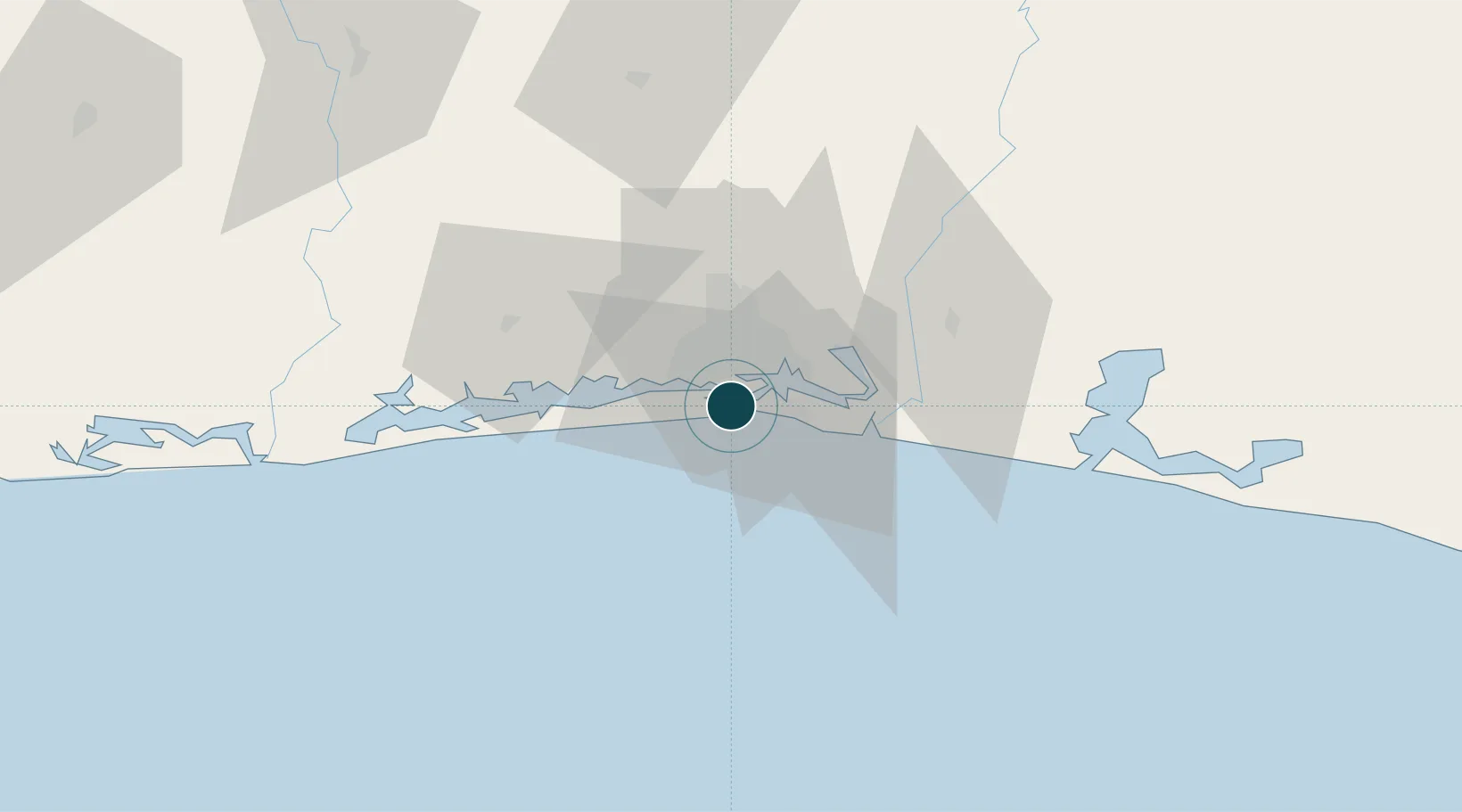
5.2500°, -4.0167°
13.5 m
Channel depth
2
Container terminals
315.5
Port liner connectivity
Channel & Berth Profile
Pilotage, Tugs & Services
Pilotage compulsoryYES
Pilotage availableYES
Pilotage advisableYES
Tug assistanceYES
Salvage tugsNO
Shore powerYES
Potable waterYES
Diesel bunkersYES
MedicalYES
Garbage disposalYES
Facilities & Capabilities
Container—
Ro-Ro—
Liquid bulk—
Dry bulk—
Oil terminal—
Break bulk—
Dry dockNO
RepairsNO
BunkeringYES
Rail linkYES
Dangerous cargo—
ISPS security—
Harbour Specifications
Harbour size
Large
Harbour type
Canal or Lake
Shelter
Excellent
Water body
North Atlantic Ocean
Tidal range
1 m
Overhead limit
Yes
Pilotage
Yes
Liner Connectivity
315.5
PLSCI
Port Liner Shipping Connectivity Index for Abidjan, as published by UNCTAD for the latest available quarter. Higher values indicate stronger scheduled liner-shipping integration.
Shown relative to the highest per-port PLSCI in the dataset (1,657.9).
Location
Container Terminals · 2
COTE D'IVOIRE TERMINAL
CIT
VRIDI TERMINAL ABIDJAN
SETV1 SOCIETE EXPLOITATION TERMINAL DE VRIDI (SETV) / BOLLORE PORTS / APM TERMINALS
Nearby Logistics Neighbours
Ports
- 1Port Bouet6 km
- 2Espoir Marine Terminal53 km
- 3Baobab Marine Terminal67 km
- 4Takoradi256 km
- 5Sekondi259 km
Cities
- 1Vridi4 km
- 2Port-Bouët6 km
- 3Cocody11 km
- 4Dabou40 km
- 5Jacqueville45 km
Airports
- 1Félix-Houphouët-Boigny International Airport10 km
- 2Yamoussoukro International Airport237 km
- 3Takoradi Airport251 km
- 4San Pedro Airport298 km
- 5Sunyani Airport300 km
Trade Zones
DatabookThe Record of Consolidated Knowledge
Côte d’Ivoire beyond logistics?