UN/LOCODE hub · United Kingdom
GBKLN
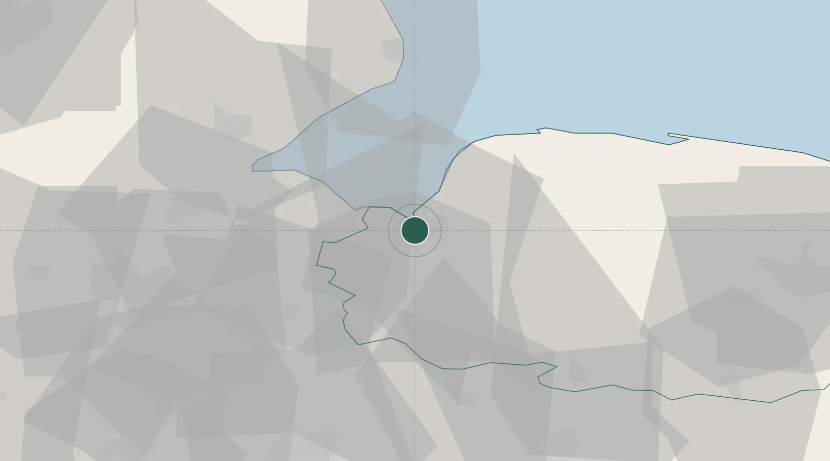
King's Lynn
52.7500°, 0.3833°
46,093
Population
3
Transport functions
Transport Functions
Port
Rail
Road
Hub Profile
Place type
Populated place
Region
England
Population
46,093
Time zone
Europe/London
Elevation
10 m
Location
Nearby Logistics Neighbours
Cities
- 1Dersingham12 km
- 2Stowbridge13 km
- 3Sutton Bridge14 km
- 4Marshland Saint James15 km
- 5Great Massingham19 km
Ports
- 1Wisbech18 km
- 2Boston36 km
- 3Great Yarmouth92 km
- 4Ipswich94 km
- 5Lowestoft97 km
Airports
- 1RAF Marham16 km
- 2RAF Lakenheath40 km
- 3RAF Mildenhall44 km
- 4RAF Honington52 km
- 5RAF Coningsby53 km
Trade Zones
DatabookThe Record of Consolidated Knowledge
United Kingdom beyond logistics?