Transport Functions
Rail
Road
Hub Profile
Region
NFK
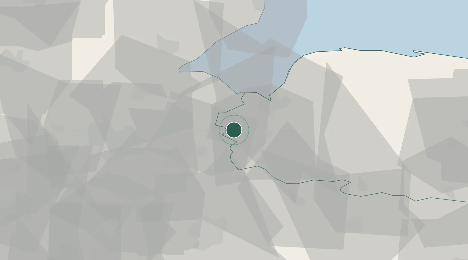
Location
Nearby Logistics Neighbours
Cities
- 1Stowbridge9 km
- 2Sutton Bridge13 km
- 3King's Lynn15 km
- 4Manea19 km
- 5Littleport23 km
Ports
- 1Wisbech6 km
- 2King's Lynn16 km
- 3Boston39 km
- 4Ipswich92 km
- 5Colchester97 km
Airports
- 1RAF Marham21 km
- 2RAF Lakenheath35 km
- 3RAF Mildenhall36 km
- 4RAF Wittering48 km
- 5Cambridge City Airport50 km
DatabookThe Record of Consolidated Knowledge
United Kingdom beyond logistics?