Medium airport · United Kingdom
RAF MarhamEGYM
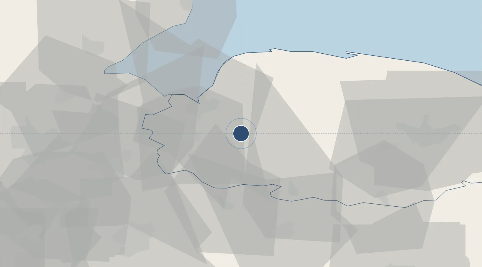
52.6484°, 0.5507°
9,131 ft
Longest runway
2
Runways
75 ft
Elevation
Runway & Layout

Radio Frequencies
ATIS
277.225 MHz
TWR
122.1 MHz
TWR
281.15 MHz
GND
389.4 MHz
APP
124.15 MHz
APP
233.075 MHz
DIR
124.15 MHz
DIRECTOR
DIR
377.475 MHz
Director
OPS
284 MHz
Navaids
MAM TACAN Marham 108.70 MHz
Runways · 2
| Runway | Dimensions | Surface | True heading | Lit |
|---|---|---|---|---|
| 05/23 | 9,131 × 148ft | Asphalt | 055° | ✓ |
| 01/19 | 6,116 × 148ft | Concrete | 009° | ✓ |
Airport Specifications
IATA code
KNF
ICAO code
EGYM
Airport class
Medium airport
Scheduled service
No
Runway surface
Asphalt
Served city
King's Lynn, Norfolk
Location
Nearby Logistics Neighbours
Airports
- 1RAF Lakenheath27 km
- 2RAF Mildenhall32 km
- 3RAF Honington37 km
- 4Norwich Airport50 km
- 5Cambridge City Airport56 km
Cities
- 1Stowbridge13 km
- 2Great Massingham15 km
- 3King's Lynn16 km
- 4Dersingham21 km
- 5Marshland Saint James21 km
Ports
- 1King's Lynn15 km
- 2Wisbech27 km
- 3Boston52 km
- 4Ipswich79 km
- 5Great Yarmouth80 km
Trade Zones
DatabookThe Record of Consolidated Knowledge
United Kingdom beyond logistics?