Seaport · United Kingdom
IpswichGBIPS
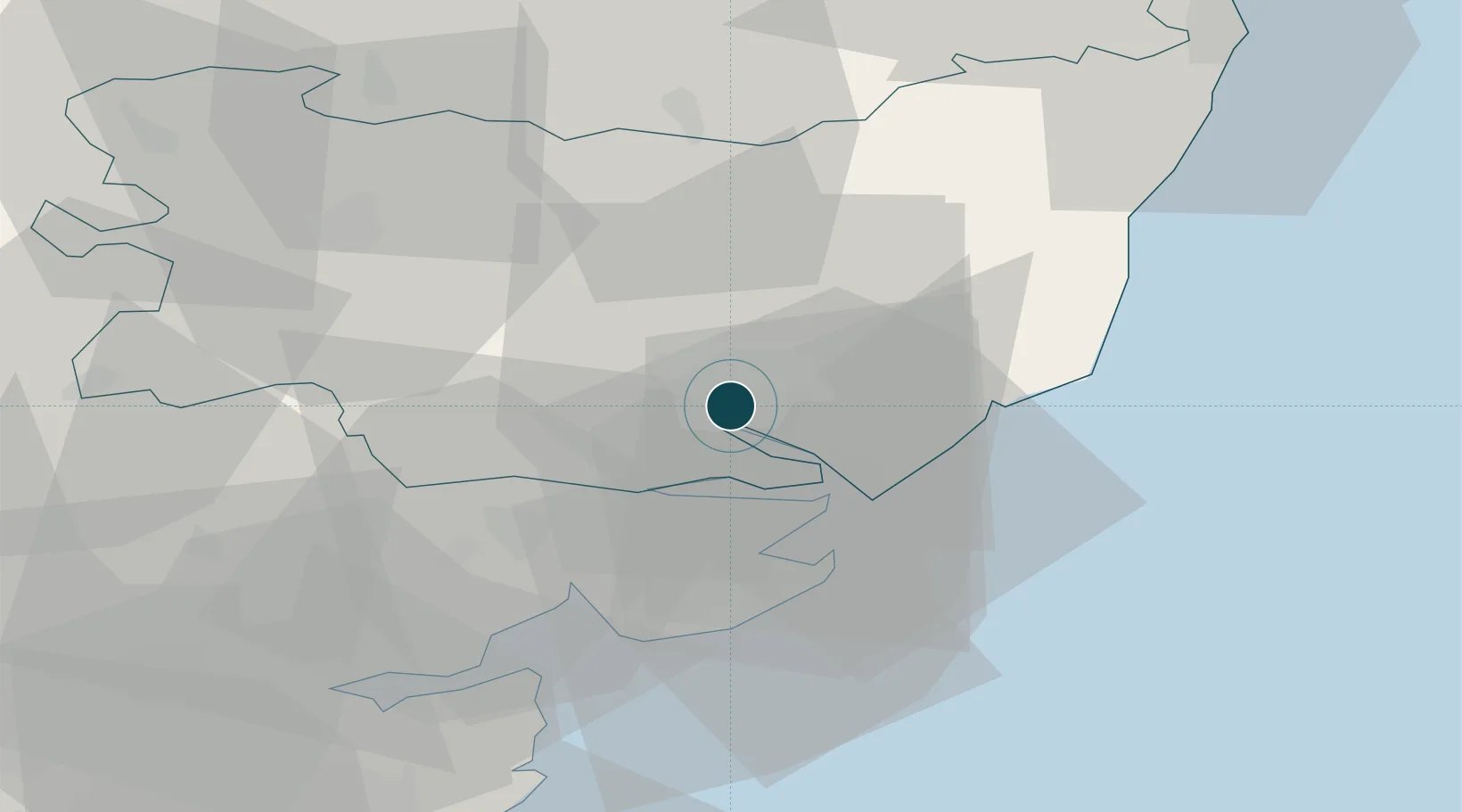
52.0500°, 1.1667°
4.9 m
Channel depth
10.2
Port liner connectivity
Channel & Berth Profile
Pilotage, Tugs & Services
Pilotage compulsoryYES
Pilotage availableYES
Pilotage advisableYES
Tug assistanceYES
Potable waterYES
Diesel bunkersYES
MedicalYES
Garbage disposalYES
Facilities & Capabilities
Container—
Ro-Ro—
Liquid bulk—
Dry bulk—
Oil terminal—
Break bulk—
Dry dockNO
RepairsNO
BunkeringYES
Rail linkYES
Dangerous cargo—
ISPS security—
Harbour Specifications
Harbour size
Small
Harbour type
River (Tide Gates)
Shelter
Fair
Water body
North Sea; North Atlantic Ocean
Tidal range
3 m
Overhead limit
Yes
Pilotage
Yes
Liner Connectivity
10.2
PLSCI
Port Liner Shipping Connectivity Index for Ipswich, as published by UNCTAD for the latest available quarter. Higher values indicate stronger scheduled liner-shipping integration.
Shown relative to the highest per-port PLSCI in the dataset (1,657.9).
Location
Nearby Logistics Neighbours
Ports
- 1Harwich14 km
- 2Felixstowe15 km
- 3Colchester25 km
- 4Lowestoft62 km
- 5Sheerness73 km
Cities
- 1Kesgrave5 km
- 2Levington8 km
- 3Ashbocking11 km
- 4Needham Market14 km
- 5Felixstowe14 km
Airports
- 1Wattisham Airfield17 km
- 2RAF Honington42 km
- 3RAF Lakenheath57 km
- 4RAF Mildenhall58 km
- 5London Southend Airport62 km
Trade Zones
DatabookThe Record of Consolidated Knowledge
United Kingdom beyond logistics?