Transport Functions
Rail
Road
Hub Profile
Place type
Populated place
Region
England
Population
2,088
Time zone
Europe/London
Elevation
4 m
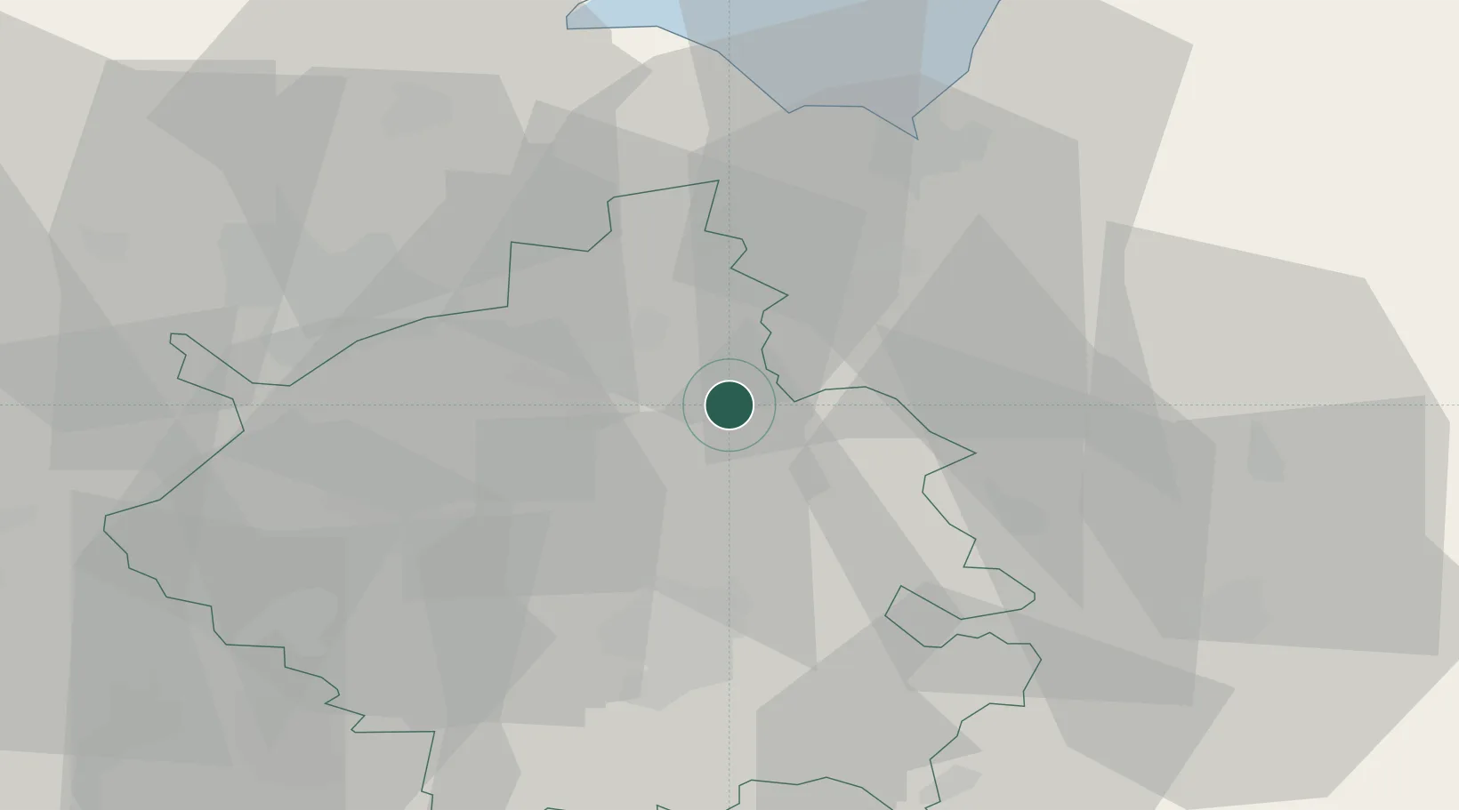
Location
Nearby Logistics Neighbours
Cities
- 1Longstanton8 km
- 2Littleport9 km
- 3Witchford11 km
- 4Marshland Saint James19 km
- 5Stowbridge21 km
Ports
- 1Wisbech21 km
- 2King's Lynn33 km
- 3Boston55 km
- 4Ipswich83 km
- 5Colchester83 km
Airports
- 1RAF Mildenhall25 km
- 2RAF Lakenheath27 km
- 3RAF Marham31 km
- 4Cambridge City Airport31 km
- 5RAF Honington43 km
Trade Zones
DatabookThe Record of Consolidated Knowledge
United Kingdom beyond logistics?