Channel & Berth Profile
Pilotage, Tugs & Services
Pilotage compulsoryYES
Pilotage availableYES
Local assistanceYES
Tug assistanceYES
Salvage tugsNO
Potable waterYES
Diesel bunkersYES
MedicalYES
Garbage disposalYES
Facilities & Capabilities
Container—
Ro-Ro—
Liquid bulk—
Dry bulk—
Oil terminal—
Break bulk—
Dry dock—
RepairsNO
BunkeringYES
Rail linkYES
Dangerous cargo—
ISPS security—
Harbour Specifications
Harbour size
Very Small
Harbour type
River (Natural)
Shelter
Good
Water body
North Sea; North Atlantic Ocean
Tidal range
3 m
Pilotage
Yes
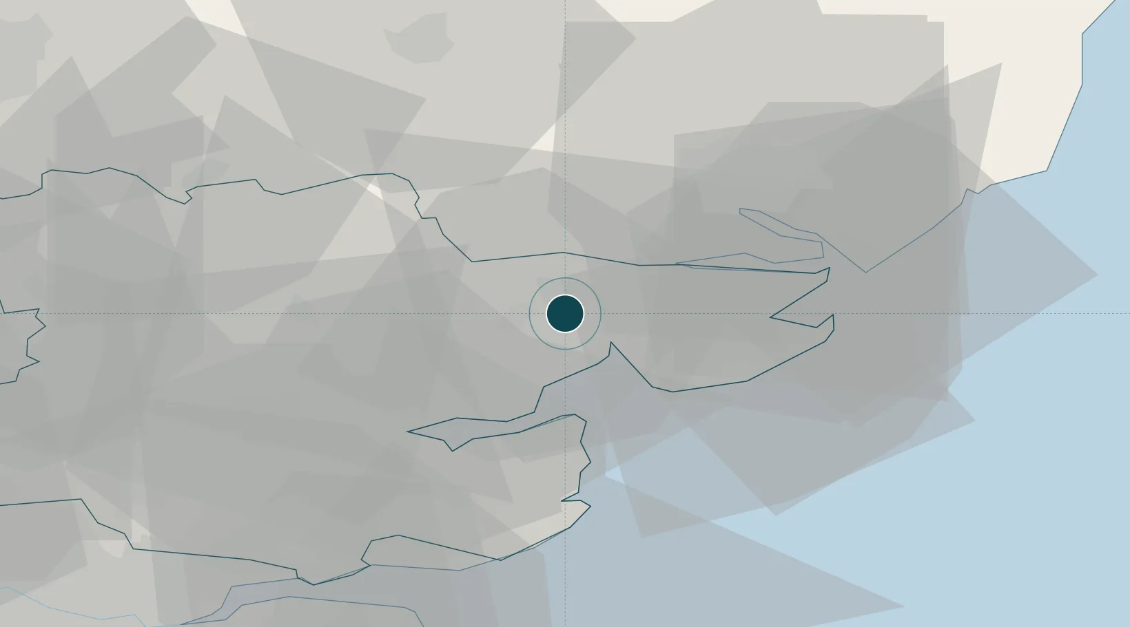
Location
Nearby Logistics Neighbours
Ports
- 1Ipswich25 km
- 2Harwich26 km
- 3Felixstowe28 km
- 4Sheerness50 km
- 5Isle Of Grain52 km
Cities
- 1Pitsea8 km
- 2Great Bentley10 km
- 3West Mersea11 km
- 4Thorpe Bay11 km
- 5Wakes Colne12 km
Airports
- 1Wattisham Airfield27 km
- 2London Southend Airport38 km
- 3London Stansted Airport47 km
- 4RAF Honington52 km
- 5RAF Mildenhall61 km
Trade Zones
DatabookThe Record of Consolidated Knowledge
United Kingdom beyond logistics?