Medium airport · United Kingdom

Cambridge City AirportEGSC
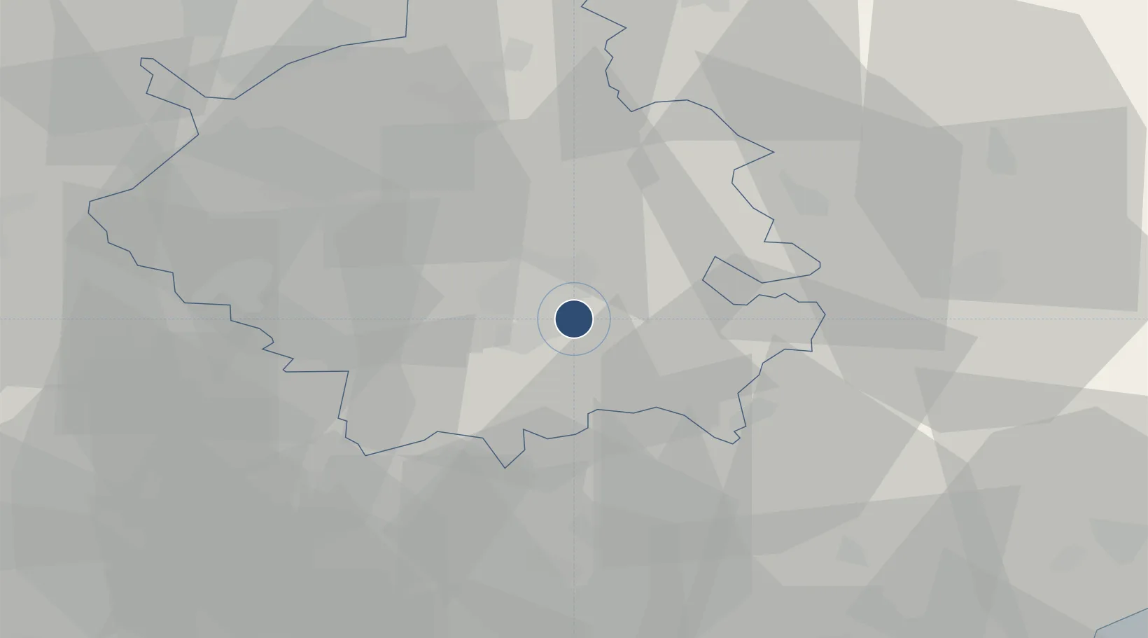
52.2050°, 0.1750°
6,444 ft
Longest runway
1
Runways
47 ft
Elevation

Runway & Layout

Cambridge City Airport runway & taxiway layout
Runway & taxiway layout — OpenStreetMap (ODbL) / OurAirports

Radio Frequencies

ATIS
134.6 MHz
Cambridge Information
TWR
122.2 MHz
Cambridge Tower
APP
123.6 MHz
Cambridge Approach
RDR
124.975 MHz
Cambridge Radar
OurAirports

Navaids

CAM NDB Cambridge 333 kHz
OurAirports

Runways · 1

RunwayDimensions SurfaceTrue headingLit
05/23 6,444 × 148ft Asphalt 050°
OurAirports

Airport Specifications

IATA code
CBG
OurAirports
ICAO code
EGSC
OurAirports
Airport class
Medium airport
OurAirports
Scheduled service
No
OurAirports
Runway surface
Asphalt
OurAirports
Served city
Cambridge, Cambridgeshire
OurAirports

Location

Location of EGSC
Natural Earth 10m (public domain) · Cambridgeshire · EGSC · 52.21, 0.17GoogleOSMYandex

Nearby Logistics Neighbours

Airports
  1. 1RAF Mildenhall27 km
  2. 2RAF Lakenheath35 km
  3. 3London Stansted Airport36 km
  4. 4RAF Honington44 km
  5. 5London Luton Airport52 km
Nearest neighbours — logibook spatial index (haversine) over the source coordinates
Cities
  1. 1Dullingham14 km
  2. 2Witchford20 km
  3. 3Papworth Everard20 km
  4. 4Kentford23 km
  5. 5Abbotsley26 km
Nearest neighbours — logibook spatial index (haversine) over the source coordinates
Ports
  1. 1Wisbech51 km
  2. 2Colchester62 km
  3. 3King's Lynn63 km
  4. 4Ipswich70 km
  5. 5London80 km
Nearest neighbours — logibook spatial index (haversine) over the source coordinates
Trade Zones
  1. 1Cambridge Compass Enterprise Zone9 km
  2. 2New Anglia Enterprise Zone22 km
  3. 3Alconbury Weald Enterprise Zone34 km
  4. 4Harlow Enterprise Zone49 km
  5. 5Enviro-Tech Hertfordshire Enterprise Zone64 km
Nearest neighbours — logibook spatial index (haversine) over the source coordinates
DatabookThe Record of Consolidated Knowledge
United Kingdom beyond logistics?
Browse databook

All Sources

AirportsOurAirports
Public domain
Portsthe NGA World Port Index
Public domain (US gov)
LocationsUN/LOCODE
UN/LOCODE — free
Trade Zonesthe World Bank SEZ database
CC BY 4.0
Trade ZonesOpen Zone Map
CC BY
InfrastructureOpenStreetMap
ODbL 1.0
← United Kingdom airports