UN/LOCODE hub · United Kingdom
GBPSB
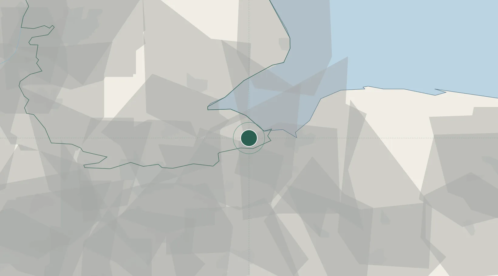
Sutton Bridge
52.7667°, 0.1833°
3,882
Population
2
Transport functions
Transport Functions
Port
Road
Hub Profile
Place type
Populated place
Region
England
Population
3,882
Time zone
Europe/London
Elevation
6 m
Location
Nearby Logistics Neighbours
Cities
- 1Marshland Saint James13 km
- 2King's Lynn14 km
- 3Stowbridge19 km
- 4Dersingham23 km
- 5Deeping St Nicholas26 km
Ports
- 1Wisbech11 km
- 2King's Lynn15 km
- 3Boston26 km
- 4Grimsby92 km
- 5Immingham100 km
Airports
- 1RAF Marham28 km
- 2RAF Coningsby43 km
- 3RAF Lakenheath47 km
- 4RAF Wittering48 km
- 5RAF Mildenhall50 km
Trade Zones
DatabookThe Record of Consolidated Knowledge
United Kingdom beyond logistics?