Medium airport · United Kingdom
RAF LakenheathEGUL
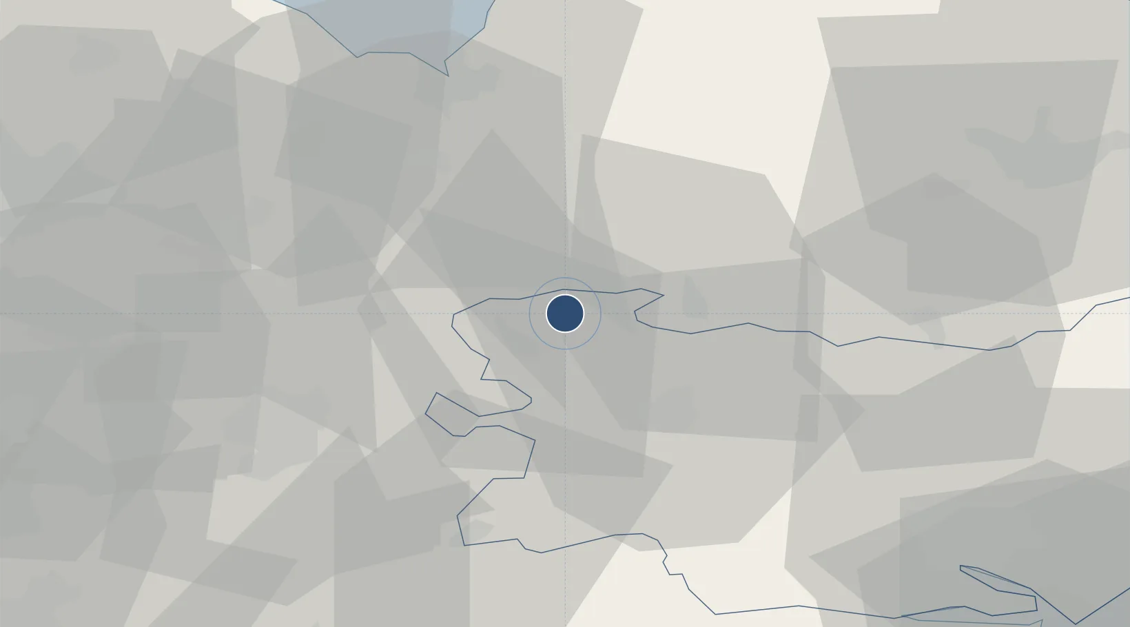
52.4095°, 0.5612°
8,998 ft
Longest runway
1
Runways
32 ft
Elevation
Runway & Layout

Radio Frequencies
ATIS
35.672 MHz
TWR
122.1 MHz
TWR
338.92 MHz
GND
375.45 MHz
APP
136.5 MHz
APP
142.82 MHz
DEP
25.03 MHz
CAC
27.777 MHz
CAC LONDON MIL
PMSV
28.442 MHz
PMSV METRO
POST
37.98 MHz
COMD POST
PTD
24.447 MHz
RDR
128.9 MHz
RADAR
Navaids
LKH TACAN Lakenheath 110.20 MHz
Runways · 1
| Runway | Dimensions | Surface | True heading | Lit |
|---|---|---|---|---|
| 05/23 | 8,998 × 150ft | Asphalt / concrete | 056° | ✓ |
Airport Specifications
IATA code
LKZ
ICAO code
EGUL
Airport class
Medium airport
Scheduled service
No
Runway surface
Asphalt / concrete
Served city
Brandon, Suffolk
Location
Nearby Logistics Neighbours
Airports
- 1RAF Mildenhall7 km
- 2RAF Honington16 km
- 3RAF Marham27 km
- 4Cambridge City Airport35 km
- 5Wattisham Airfield41 km
Cities
- 1Cavenham12 km
- 2Willingham13 km
- 3Ingham15 km
- 4Kentford16 km
- 5Littleport18 km
Ports
- 1King's Lynn39 km
- 2Wisbech40 km
- 3Ipswich57 km
- 4Colchester63 km
- 5Harwich71 km
Trade Zones
DatabookThe Record of Consolidated Knowledge
United Kingdom beyond logistics?